dconvertini · CC BY-SA 2.0
Bridge atlas

The bridges of the Seine in Paris

Discover six landmark bridges on a watercolor map drawn from real geographic data, then explore all 37 Paris crossings in the directory.

01—37 · Paris

Every bridge has a story.

Discover six landmark bridges on a watercolor map drawn from real geographic data, then explore all 37 Paris crossings in the directory.

SEINE.COM — The Seine, mappedSelect a bridge · scroll to explore
Map data
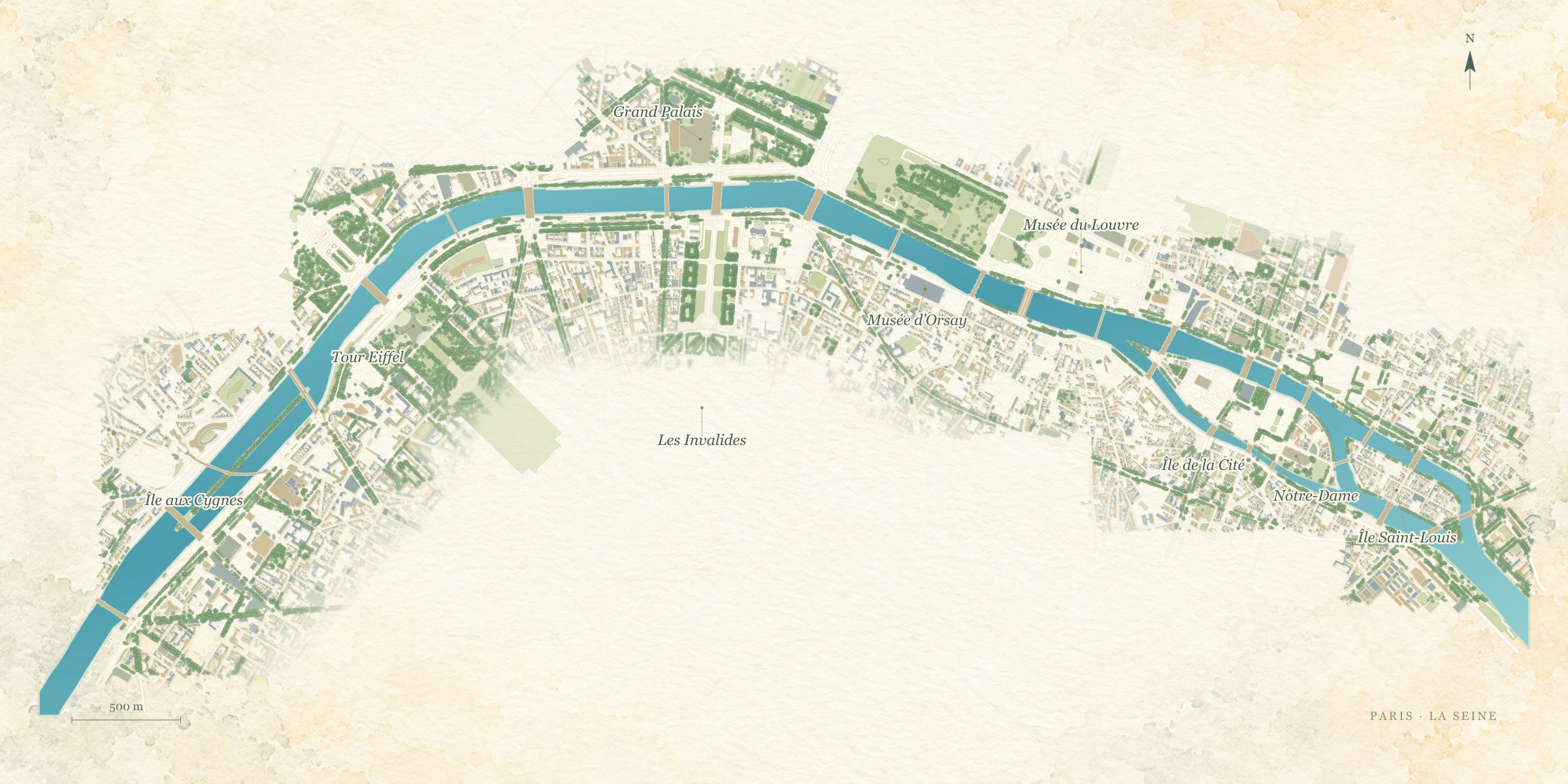
Watercolor map of the real Seine river course, its three central Paris islands and six geographically anchored bridge markers.

North is up. Riverbanks, islands and bridges follow OpenStreetMap geometry; the six markers are anchored to the mapped bridges. Watercolor styling is decorative. Numbers match the bridge directory. © OpenStreetMap contributors · ODbL

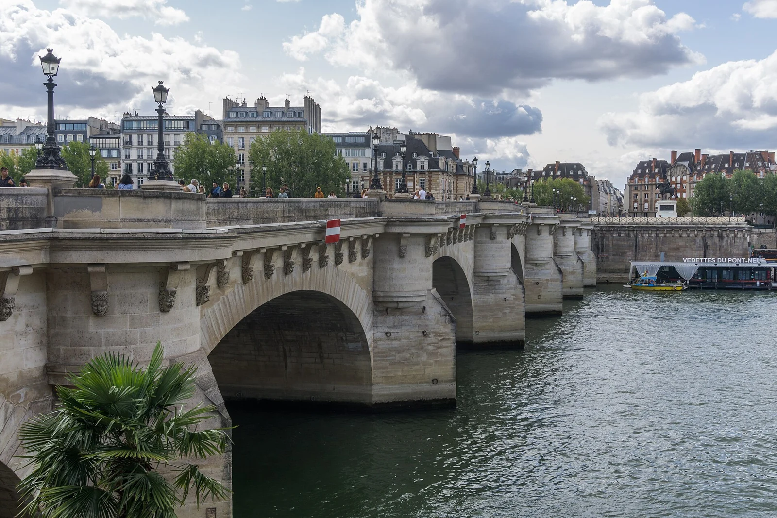
Pont Neuf
Sumit Surai · CC BY-SA 4.0
Road & pedestrians

Pont Neuf

21

Paris’s oldest surviving bridge crosses both arms beside the Henri IV statue.

Quai du Louvre ↔ west Île de la Cité ↔ Rue Dauphine

01—37

The complete Paris bridge directory

#Select a bridgeUseCurrent structure / key date
01Eastern boundary / boulevard périphériqueMotorway · no pedestrian access1969
02Boulevard Poniatowski ↔ Boulevard MassénaRoad, tram & pedestrians1853
03Quai de Bercy ↔ Quai François-MauriacRoad & pedestrians1882
04Parc de Bercy ↔ BnF François-MitterrandPedestrians & cycles2006
05Boulevard de Bercy ↔ Boulevard Vincent-AuriolRoad, Métro & pedestrians1864
06Gare de Lyon area ↔ Gare d’Austerlitz areaRoad & pedestrians1996
07Quai de la Rapée ↔ Gare d’AusterlitzMétro only · no pedestrian access1904 construction
08Place Mazas / Arsenal mouth ↔ Jardin des Plantes / Place ValhubertRoad & pedestrians1854 rebuilt
09Boulevard Henri-IV ↔ east tip Île Saint-Louis ↔ Boulevard Saint-GermainRoad & pedestrians1877 inaugurated
10Quai des Célestins ↔ Quai de Bourbon, Île Saint-LouisRoad & pedestrians1635
11Rue des Deux-Ponts, Île Saint-Louis ↔ Quai de la TournelleRoad & pedestrians1928
12Quai de l’Hôtel de Ville ↔ west Île Saint-LouisRoad & pedestrians1862
13West tip Île Saint-Louis ↔ east Île de la CitéPedestrians1970
14Eastern Île de la Cité ↔ Quai de Montebello / Quai de la TournellePedestrians & cycles1828
15Hôtel de Ville ↔ Rue d’Arcole, Île de la CitéRoad & pedestrians1856
16Notre-Dame forecourt ↔ Quai de Montebello / Square René-VivianiPedestrians1883
17Quai de Gesvres ↔ Quai de la CorseRoad & pedestrians1919 inaugurated
18Rue de la Cité ↔ Rue du Petit-PontRoad & pedestrians1853
19Place du Châtelet ↔ Conciergerie / Boulevard du PalaisRoad & pedestrians1860
20Boulevard du Palais ↔ Place Saint-MichelRoad & pedestrians1857
21Quai du Louvre ↔ west Île de la Cité ↔ Rue DauphineRoad & pedestrians1607 inaugurated
22Louvre Cour Carrée ↔ Institut de FrancePedestrians1984 current
23Louvre guichets ↔ Quai Voltaire / Quai MalaquaisRoad & pedestrians1939
24Tuileries / Louvre western end ↔ Rue du BacRoad & pedestrians1689
25Jardin des Tuileries ↔ Musée d’OrsayPedestrians1999
26Place de la Concorde ↔ Palais Bourbon / Assemblée nationaleRoad & pedestrians1791 opening commonly cited
27Grand Palais / Petit Palais ↔ Esplanade des InvalidesRoad & pedestrians1900 inaugurated
28Cours la Reine / Cours Albert-Ier ↔ Quai d’OrsayRoad & pedestrians1856
29Place de l’Alma ↔ Quai BranlyRoad & pedestrians1974 completed
30Avenue de New York ↔ Quai Branly near Musée du quai BranlyPedestrians1900
31Trocadéro ↔ Tour Eiffel / Champ-de-MarsPedestrians & cycles1814
32Passy ↔ upstream Île aux Cygnes ↔ GrenelleRoad, Métro & pedestrians1906 use
33Passy ↔ Île aux Cygnes ↔ Grenelle rail lineRail only · no pedestrian access1900
34Maison de la Radio ↔ downstream Île aux Cygnes ↔ BeaugrenelleRoad & pedestrians1968
35Rue de Rémusat / Quai Louis-Blériot ↔ Rue de la Convention / Quai André-CitroënRoad & pedestrians1897 inauguration
36Boulevard Exelmans ↔ Boulevard du Général-Martial-ValinRoad & pedestrians1966
37Western boundary / boulevard périphériqueMotorway · no pedestrian access1968 initial opening
01

Thirty-seven ways to read Paris

A bridge is more than a way across. It can be a royal statement, an engineering experiment, a railway connection or an intimate meeting place. The Paris riverfront becomes much easier to understand when the bridges are treated as a sequence rather than a collection of famous names. Our atlas follows the Seine downstream and gives every bridge a place in that sequence.

The complete inventory here means the 37 bridges over the Seine within Paris. It does not claim to list every crossing along the roughly 777-kilometre river. Beyond Paris, the Normandy and estuary guides introduce selected major bridges. Crossings over canals, roads and railway tracks elsewhere in the capital are outside this river inventory.

02

How to explore the illustrated atlas

Choose a numbered marker or a bridge name to open a real photograph, its history and full guide. The map uses actual riverbank, island and bridge geometry with watercolor styling. North is up; use the 500-metre scale to judge distance. Zoom in for the island channels and bridge details, or move across the map on a small screen. Selecting a bridge brings its marker into view. The searchable directory covers all 37 Paris crossings.

The map has a matching text directory, so every crossing remains available on a small screen or without using the visual diagram. A railway-only crossing is a point of interest, not a suggested walking route. For a walk, use public pedestrian approaches and the current street-level route.
DimiTalen · CC0
03

Choose a short walk with a theme

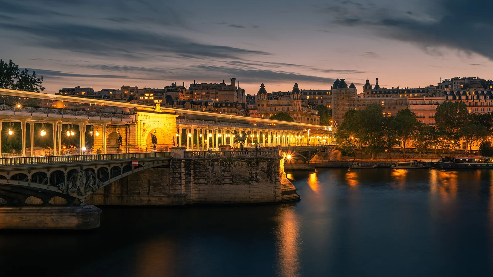
For the oldest surviving bridge and island history, begin with Pont Neuf and continue towards the cathedral. For monumental Paris, combine Pont Alexandre III with the riverfront around Invalides and the Grand Palais. For an Eiffel Tower perspective and layered engineering, head to Bir-Hakeim and the Île aux Cygnes area.

A first visit does not need all 37 crossings. Choose three or four, cross the river at least once and return along the opposite bank. This reveals how the same bridge changes when viewed from above, from the quay and from the water. Allow time for stairs, crossings, photographs and a café stop.

04

See the bridges from the river

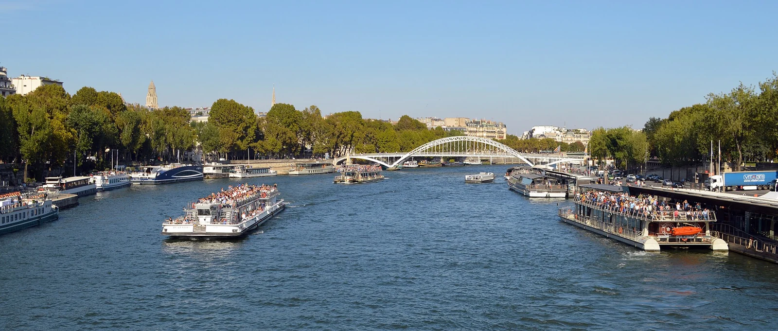
A cruise brings the underside of an arch and the span of a bridge into view in a way that a street walk cannot. Central sightseeing routes commonly pass many landmark crossings, but the exact circuit depends on the operator, departure point and river conditions. Do not buy a cruise solely on the assumption that one particular bridge is guaranteed.

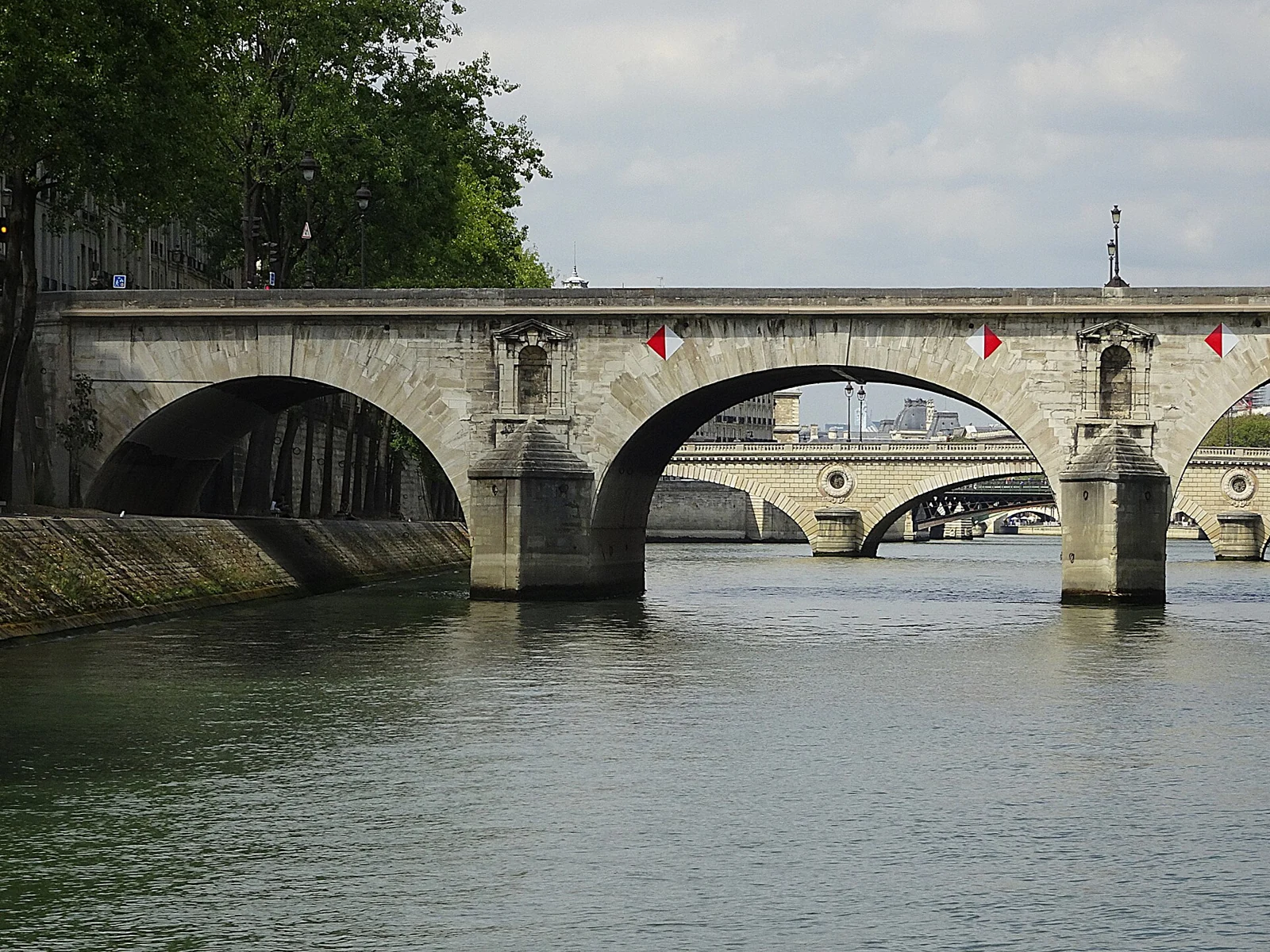
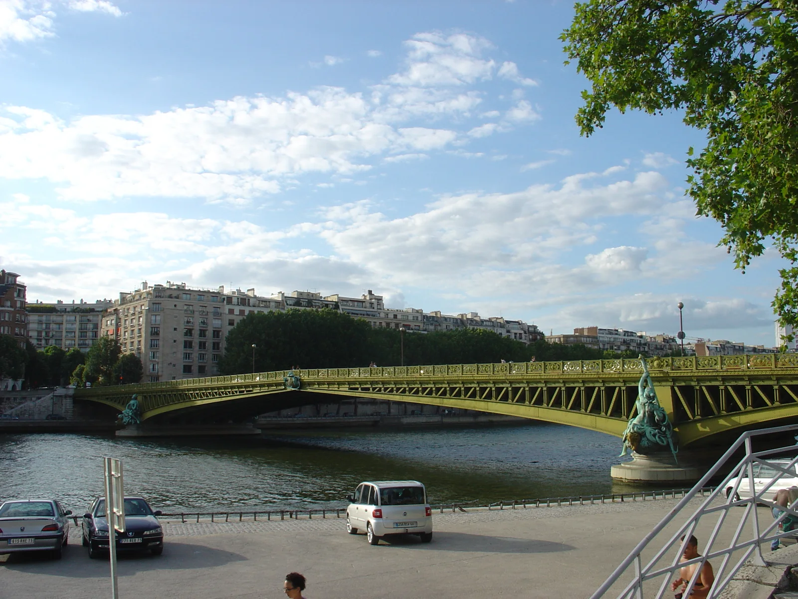
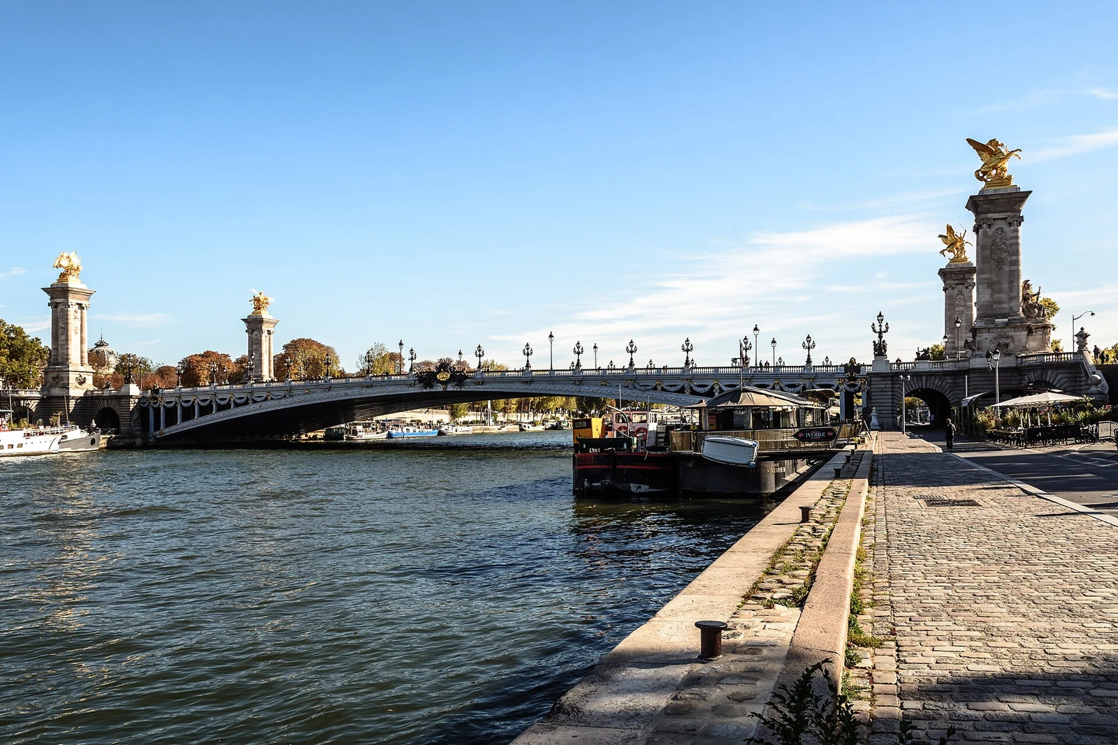
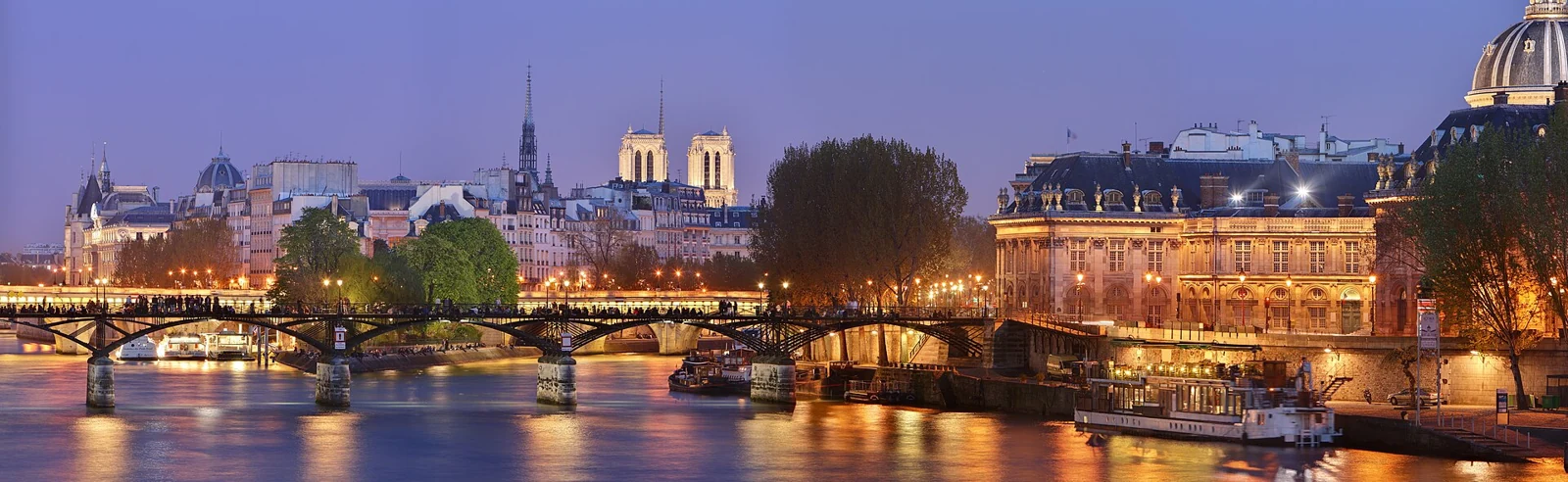
Our individual guides focus on Pont Neuf, Pont Alexandre III, Pont des Arts, Bir-Hakeim, Pont Marie and Pont Mirabeau. Each combines history with a practical visit and a sensible nearby route. Use the cruise comparison to decide whether a simple sightseeing departure, a sunset trip or a longer dinner experience fits that route.

Your questions, answered

Does the list cover every bridge on the whole Seine?

It covers all 37 Paris Seine bridges. The much longer river has many additional road, rail and local crossings; selected major ones appear in our downstream guides.

Can I walk across every bridge shown?

No. Some crossings are reserved for motorway, railway or metro traffic. Use the pedestrian filter in the directory and check public approaches and current local access before walking.

Is the diagram geographically accurate?

North is up. Riverbanks, islands and bridges follow OpenStreetMap geometry; the six markers are anchored to the mapped bridges. Watercolor styling is decorative. Numbers match the bridge directory.

Sources & editorial notes

The guide draws on city, museum, heritage, transport and operator information. Practical recommendations are our editorial judgement; follow the current official notice for date-specific access.

Some links are affiliate links. We may earn a commission if you book through them, at no additional cost to you. Prices, availability and booking terms are set by the provider.
Beyond Paris

Beyond Paris, the bridges change scale.

Three important crossings on the lower Seine, in downstream order. These complement the complete Paris atlas; they are not a list of every bridge along the river.

1977Cable-stayed bridge

Pont de Brotonne

Opened in 1977 near Caudebec-en-Caux, now part of Rives-en-Seine, Brotonne connects the river bends and forest landscape. Its prestressed-concrete span shows how modern engineering answered a much wider crossing than the central Paris channels.

Pair a riverbank viewpoint with a slow journey through the Seine loops. Check current roadworks and public access; this is a regional excursion, not an extension of a Paris bridge walk.

Engineering / city source
1959Suspension bridge

Pont de Tancarville

In service since 1959, Tancarville is the great suspension crossing farther downstream from Brotonne. Its long main cables and suspended deck make a useful visual comparison with the cable-stayed bridges on either side of this journey.

Treat it as a stop within a lower-Seine route. Choose a designated viewpoint and check the operator’s current traffic and access information before setting out.

Engineering / city source
1995Cable-stayed bridge

Pont de Normandie

Opened in 1995, Pont de Normandie links the estuary sides near Le Havre and Honfleur. Its pylons and fan of cables frame a tidal, maritime landscape: the Seine is now on a very different scale from the islands of Paris.

Combine the bridge with a stay in Honfleur or a visit to Le Havre. Walking and cycling conditions need checking with the operator; an exposed crossing is a different outing from a sheltered city promenade.

Engineering / city source
Beyond Paris