Cross into a smaller Paris
Pont Marie makes an effective change of pace after the busier central monuments. From the Right Bank near the Marais, it carries you across one channel of the Seine to Île Saint-Louis. The island's close street pattern and river-facing buildings create a different scale from the broad ceremonial routes farther west.
The bridge does not span from the Right Bank to the Left Bank by itself. It reaches the island; Pont de la Tournelle provides a corresponding connection on the other side. This simple geographic distinction makes an island walk easier to understand and prevents the river from becoming an abstract blue strip on a map.
The developer behind the name
Pont Marie is named for Christophe Marie, associated with the development of Île Saint-Louis. Louis XIII laid its foundation stone in 1614 and it was completed in 1635. Use those dates to place the bridge in the transformation of the island into an urban neighbourhood, rather than treating it as an isolated royal monument.
It ranks among Paris's oldest surviving bridges. Its longevity does not mean an untouched existence: flood damage, repairs and changes to the bridge's surface have left their own history. The river shaped the architecture through maintenance and rebuilding as well as through the original decision to construct a crossing.
Imagine the houses that disappeared
The bridge once supported houses, a reminder that an earlier crossing could be valuable building land as well as a transport link. Their removal opened a different relationship with the river. Today's view across the parapet should not be projected backwards into every century of the bridge's life.
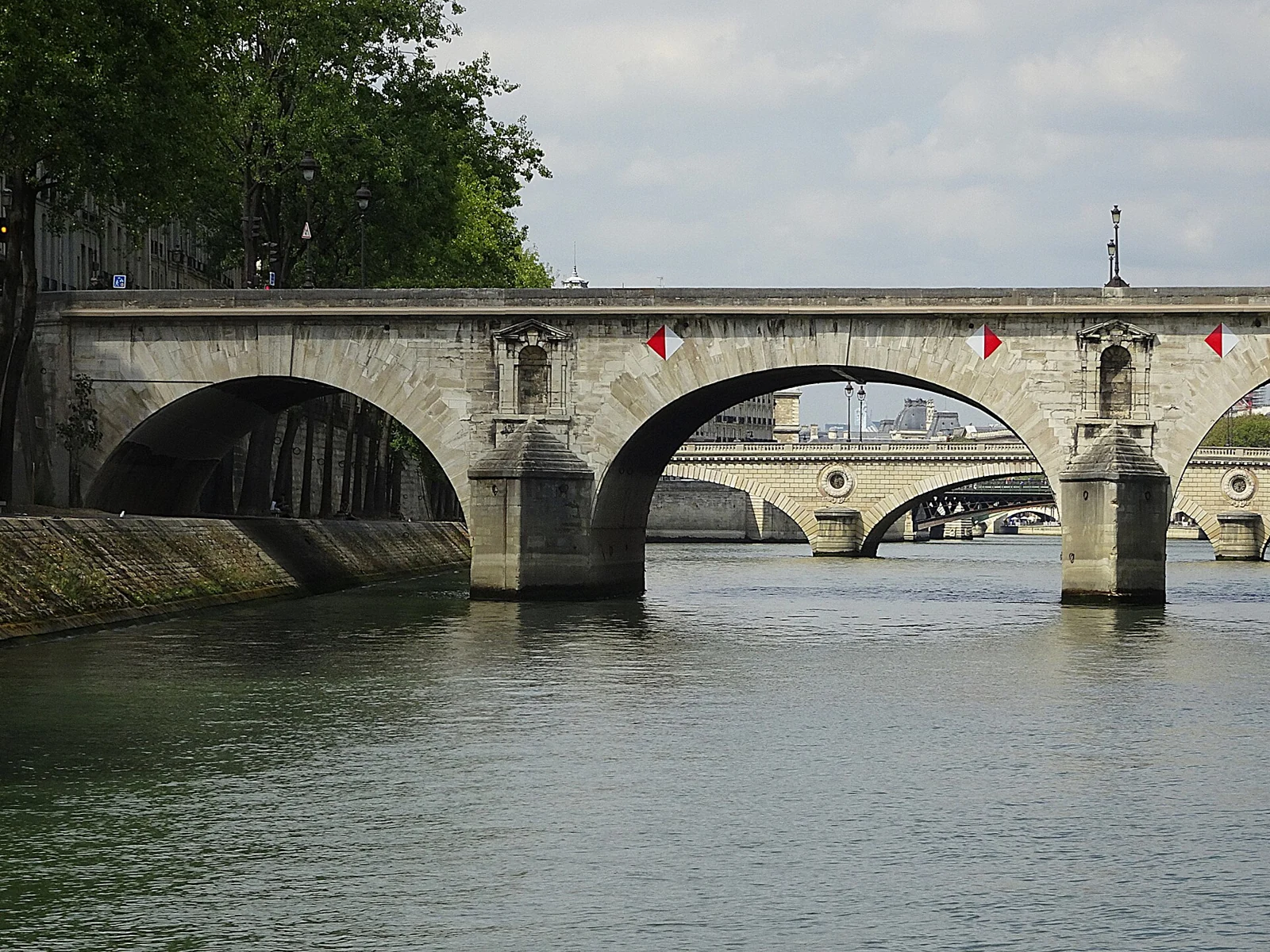
Notice the stone arches and the empty niches in the structure. The niches never received the statues intended for them. This absence is worth looking for: architecture can preserve an unfinished decorative intention just as clearly as it preserves a completed sculpture. View the details from a public bank or pavement rather than leaning into the roadway.
Follow the connection through the island
A useful route begins around Hôtel de Sens and the neighbouring Marais streets, then crosses Pont Marie into Île Saint-Louis. Continue through the island at your own pace and decide whether to cross the Tournelle bridge or stay beside the water. Cafés and shops can be part of the pause rather than additional stops to hurry through.
For a longer outing, head towards the western end of the island and the connection to Île de la Cité. You will encounter a second island with a different history and visitor pressure. There is no need to include every crossing: one outward route and a different return bank make the geography clearer.
Leave room for the river's conditions
The bridge pavement and the lower riverbank are different routes. Access to the water's edge may require steps and can change during high water or works. Keep an upper-level alternative if you are travelling with luggage, a stroller or someone who finds stairs difficult; assess the exact route rather than relying on a broad map label.
If continuing towards Notre-Dame, consult current access signs. The cathedral surroundings have works extending into 2027, and a familiar photograph of a square or quay is not confirmation that it is open. Pont Marie works well as the centre of a shorter island visit even when a longer riverside circuit needs adjusting.
Add a cruise without guessing the pier
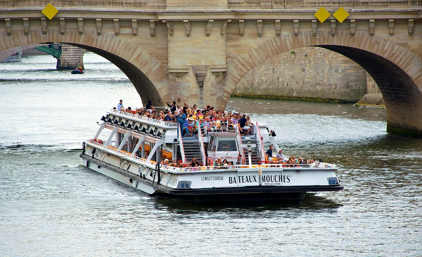
A walk here can introduce the island channels before you see them from a boat. When comparing GetYourGuide options, check where the cruise actually starts. “Notre-Dame,” “the islands” and “Pont Neuf” may sound close, but they do not describe one interchangeable boarding location.
Choose a departure that fits your onward route and leave a buffer for finding the correct bank and quay level. The appeal of the combination is the change in perspective: on foot, you experience the island as a neighbourhood; from the water, you see how its built edges and bridges divide and frame the Seine.
Your questions, answered
Who was Pont Marie named after?
Christophe Marie, the developer connected with the urban development of Île Saint-Louis.
When was the bridge built?
The foundation stone was laid in 1614 and the bridge was completed in 1635. Later repairs form part of its history.
Does Pont Marie connect both riverbanks?
It connects the Right Bank to Île Saint-Louis. Continue across the island to Pont de la Tournelle for the Left Bank.
Sources & editorial notes
The guide draws on city, museum, heritage, transport and operator information. Practical recommendations are our editorial judgement; follow the current official notice for date-specific access.
Some links are affiliate links. We may earn a commission if you book through them, at no additional cost to you. Prices, availability and booking terms are set by the provider.