
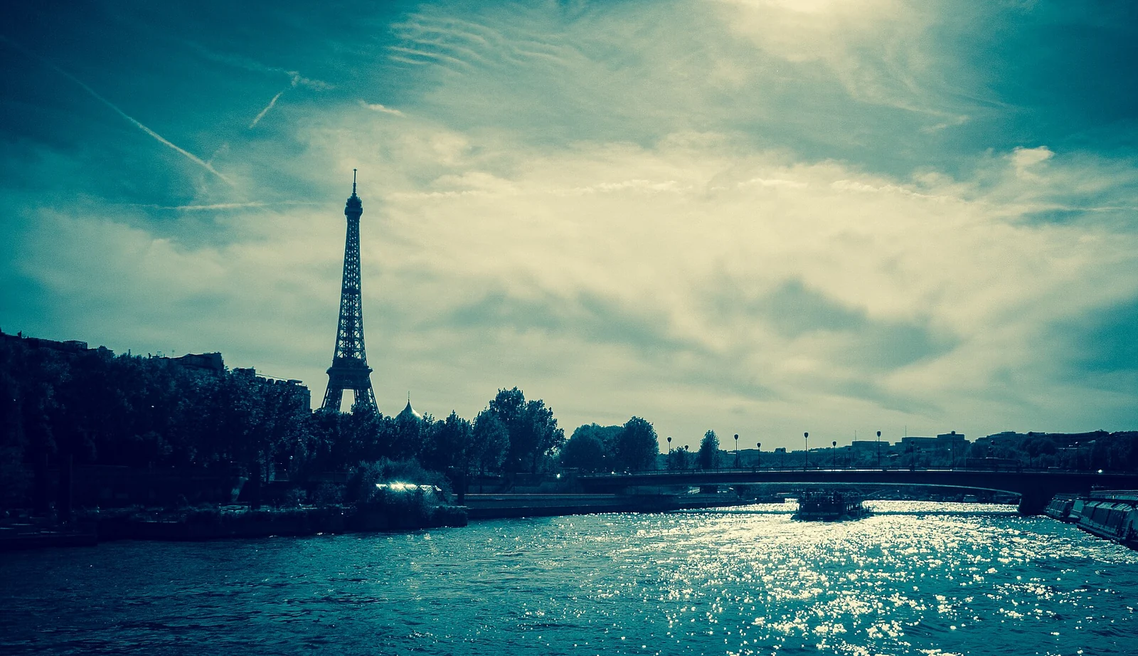
Udit Kapoor
Licence: CC BY-SA 4.0
View original and attributionReal places, credited properly. Images have been resized, converted to WebP and may be cropped to fit the layout. Each photograph retains the licence linked below.
Licence: CC BY-SA 4.0
View original and attribution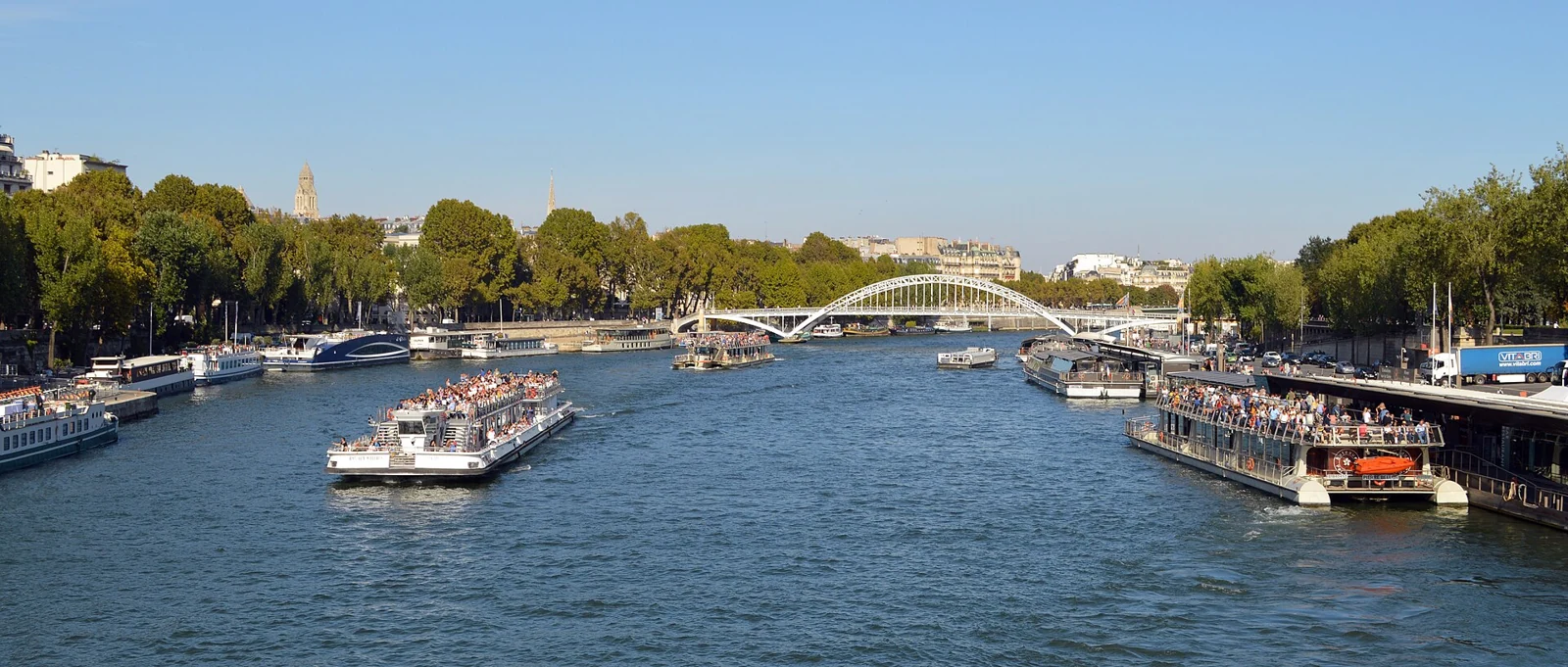
Licence: CC0
View original and attribution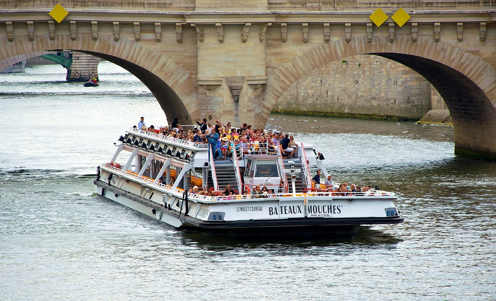
Licence: CC BY-SA 2.0
View original and attribution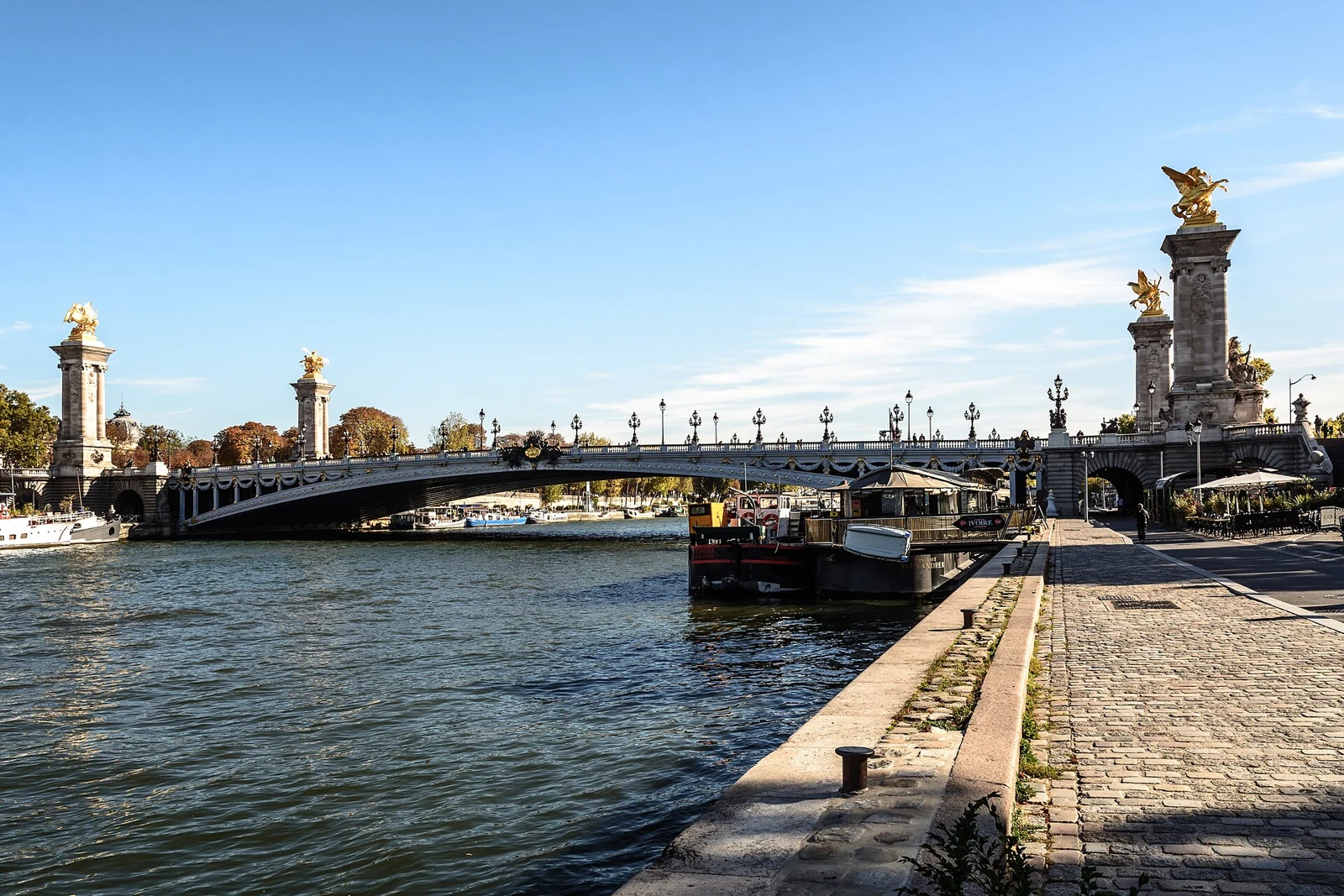
Licence: CC BY-SA 2.0
View original and attribution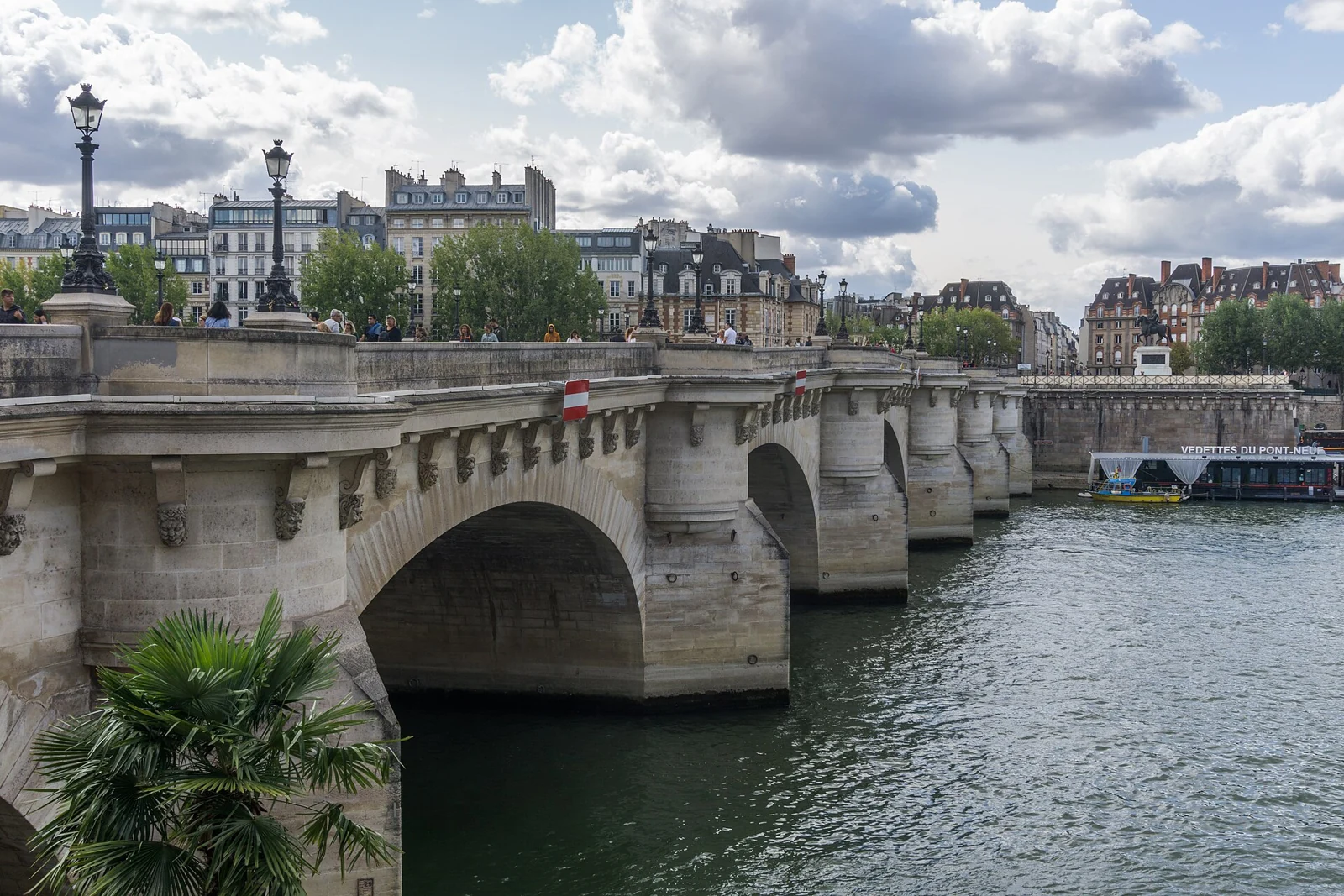
Licence: CC BY-SA 4.0
View original and attribution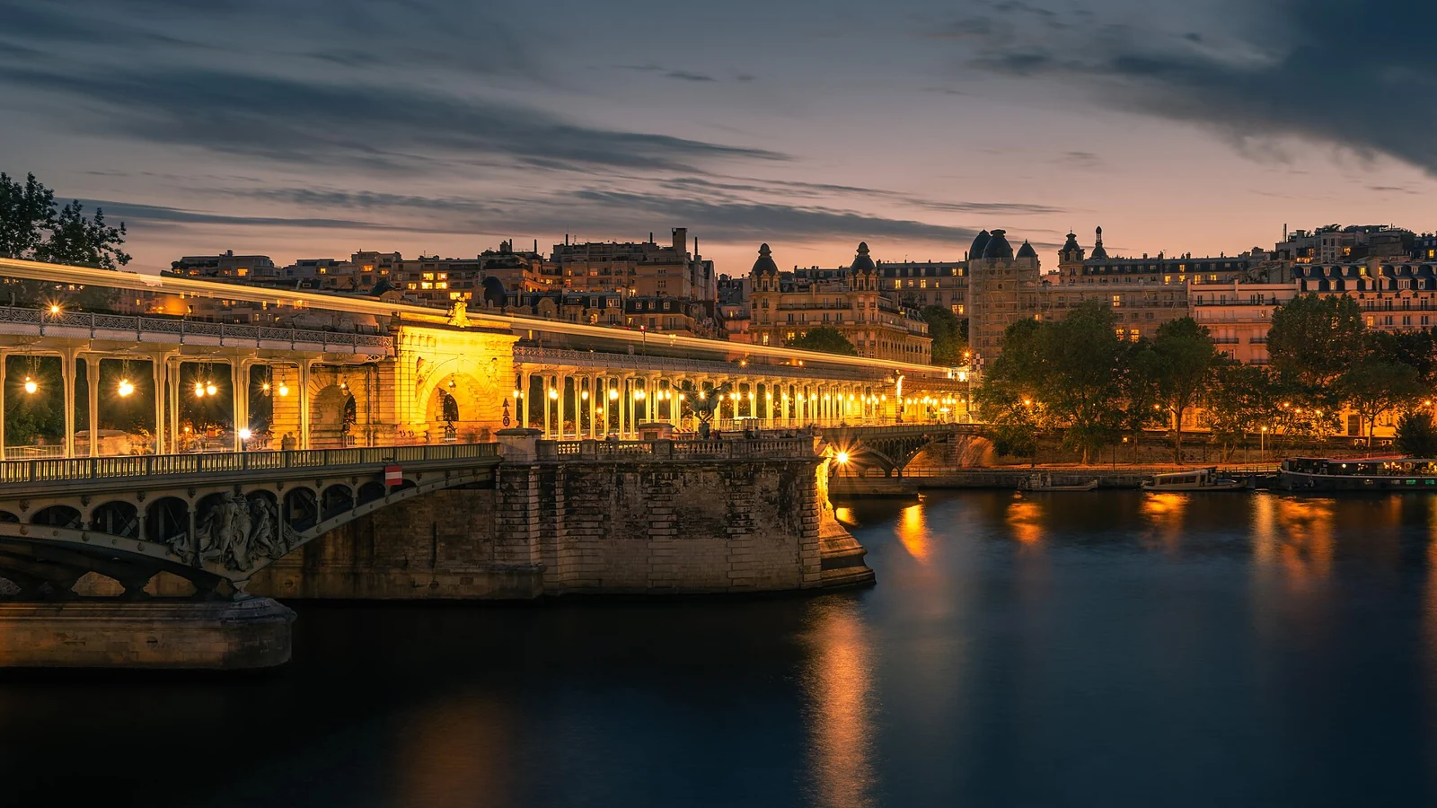
Licence: CC0
View original and attribution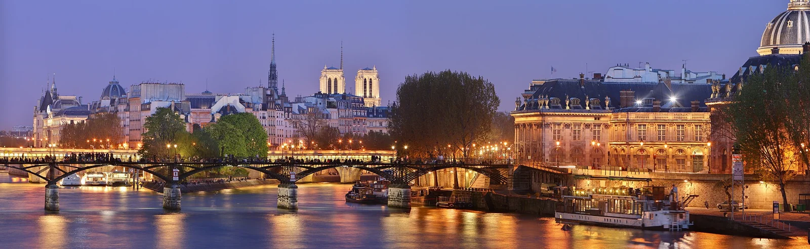
Licence: CC BY-SA 3.0
View original and attribution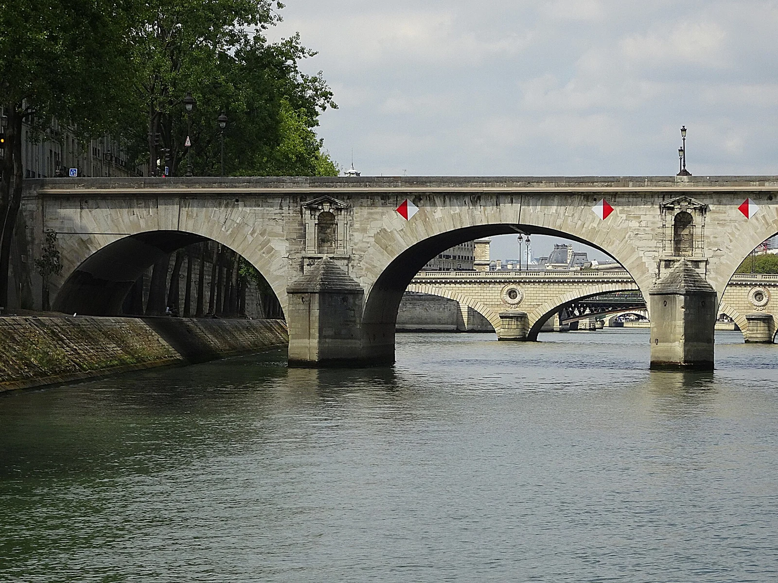
Licence: CC BY-SA 4.0
View original and attribution
Licence: CC BY-SA 3.0
View original and attribution
Licence: CC BY 3.0
View original and attribution
Licence: CC BY-SA 3.0
View original and attribution
Licence: CC BY-SA 3.0
View original and attribution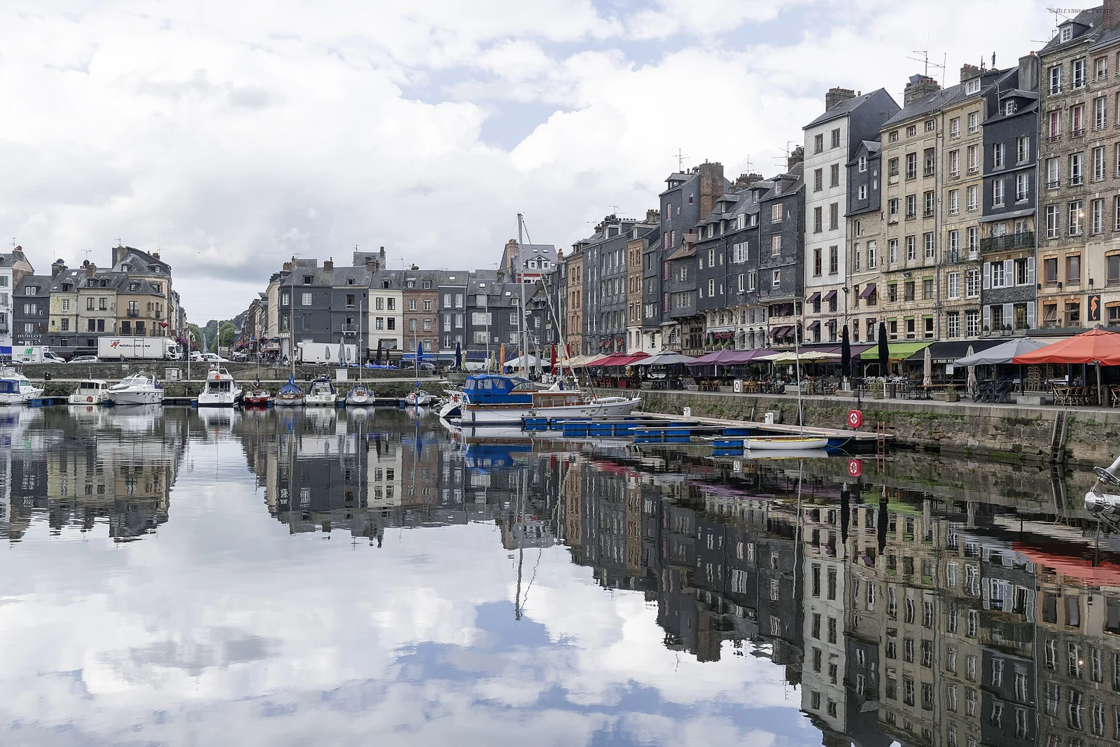
Licence: CC BY-SA 2.0
View original and attribution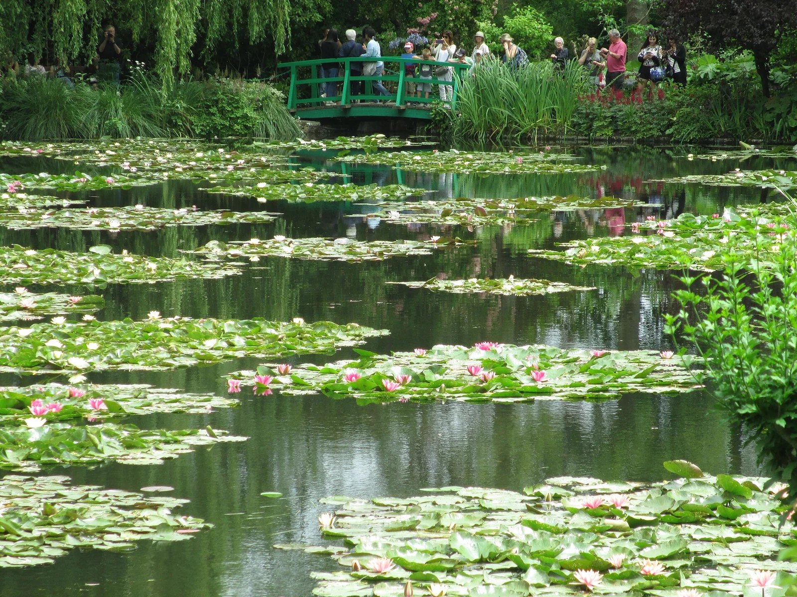
Licence: CC BY-SA 4.0
View original and attribution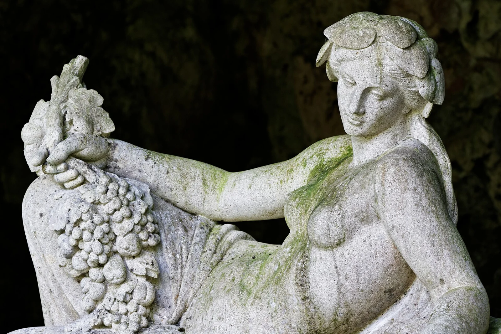
Licence: CC BY-SA 3.0
View original and attribution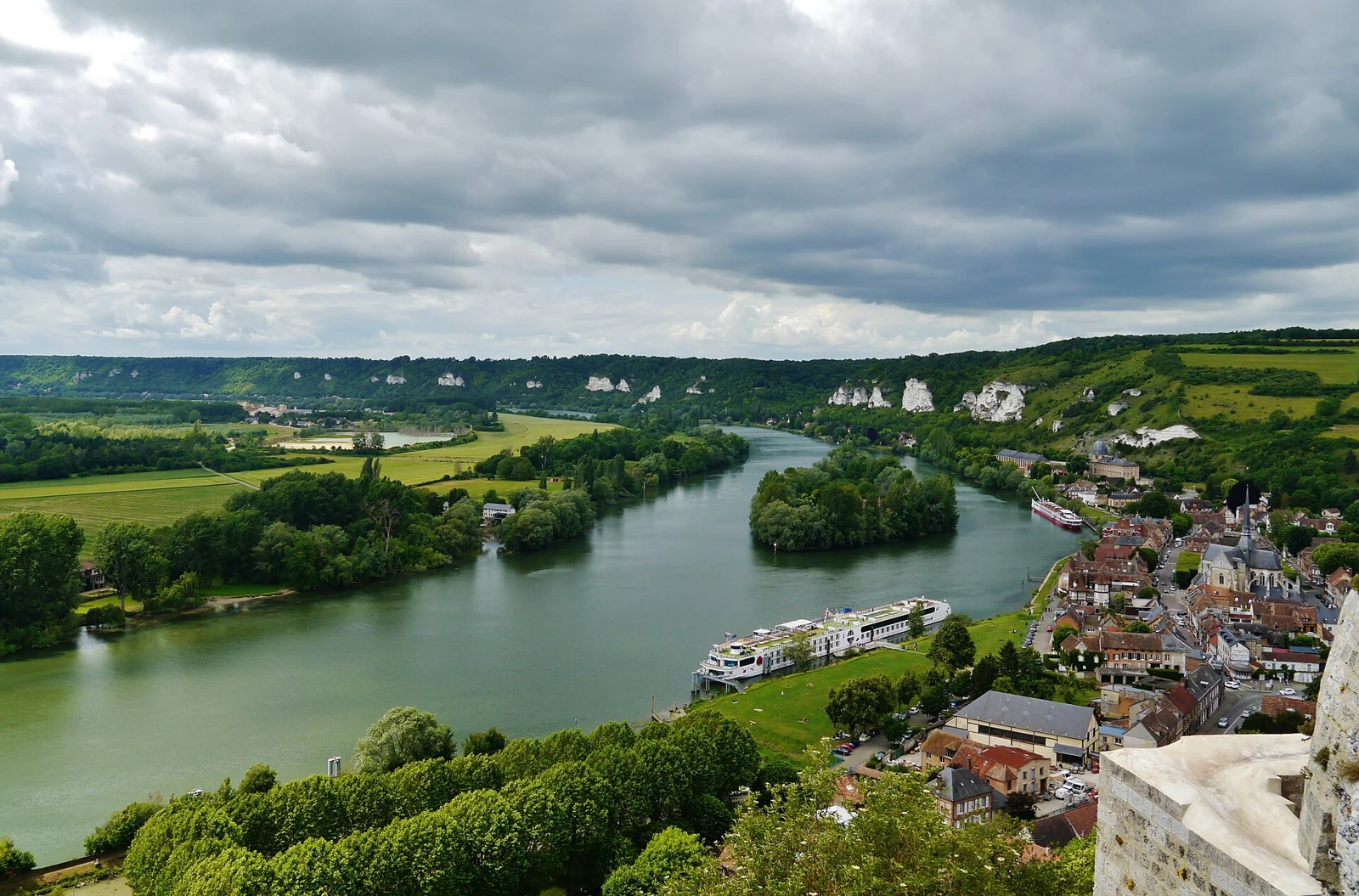
Licence: CC BY-SA 4.0
View original and attribution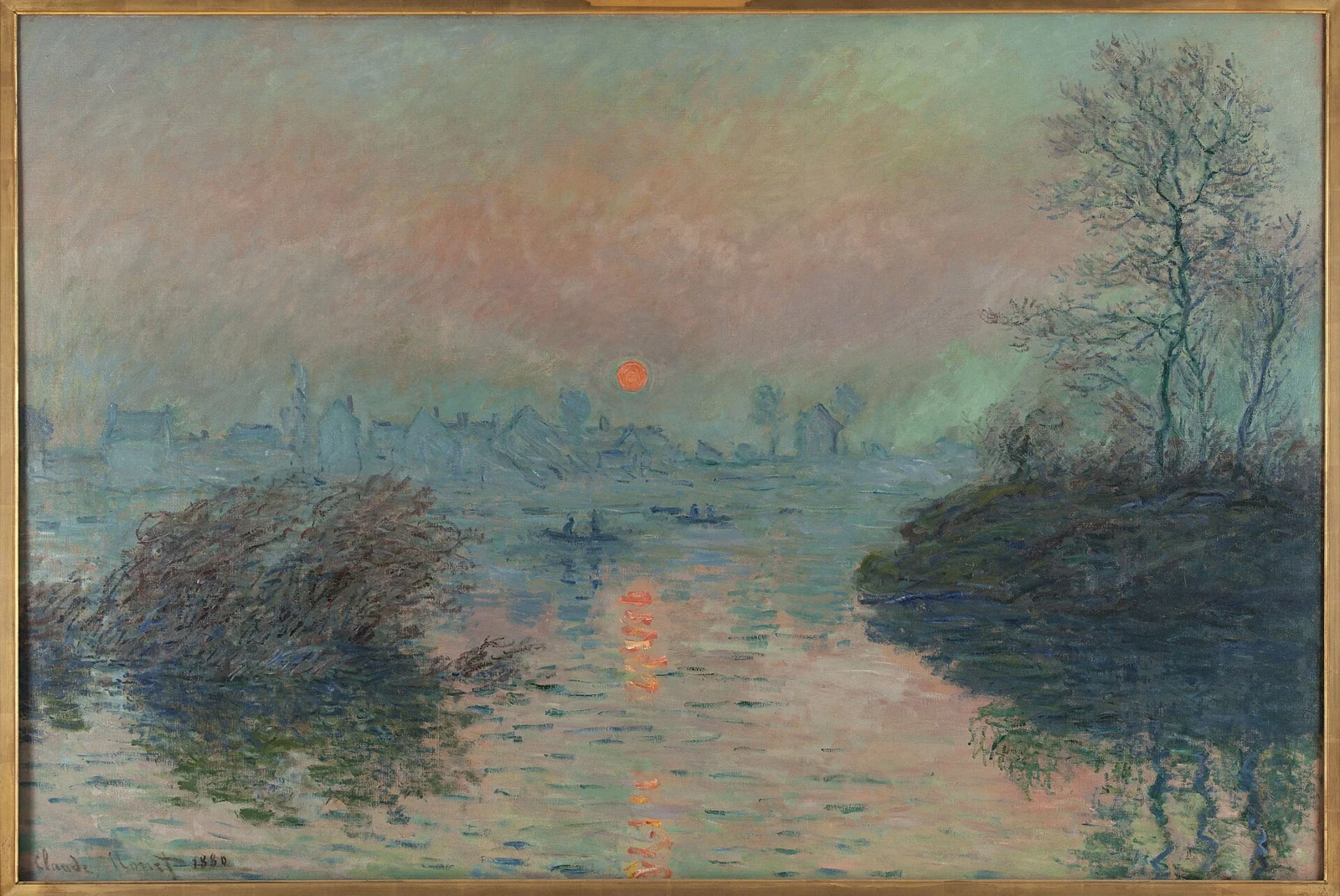
Licence: Public domain
View original and attribution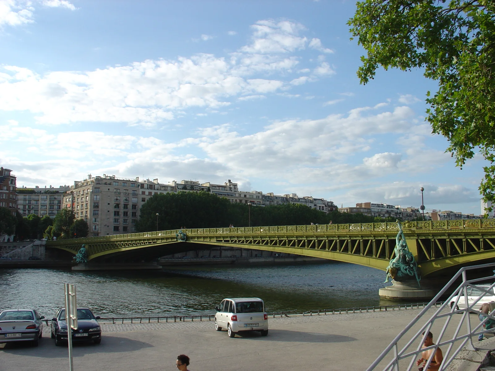
Licence: CC BY 2.0
View original and attribution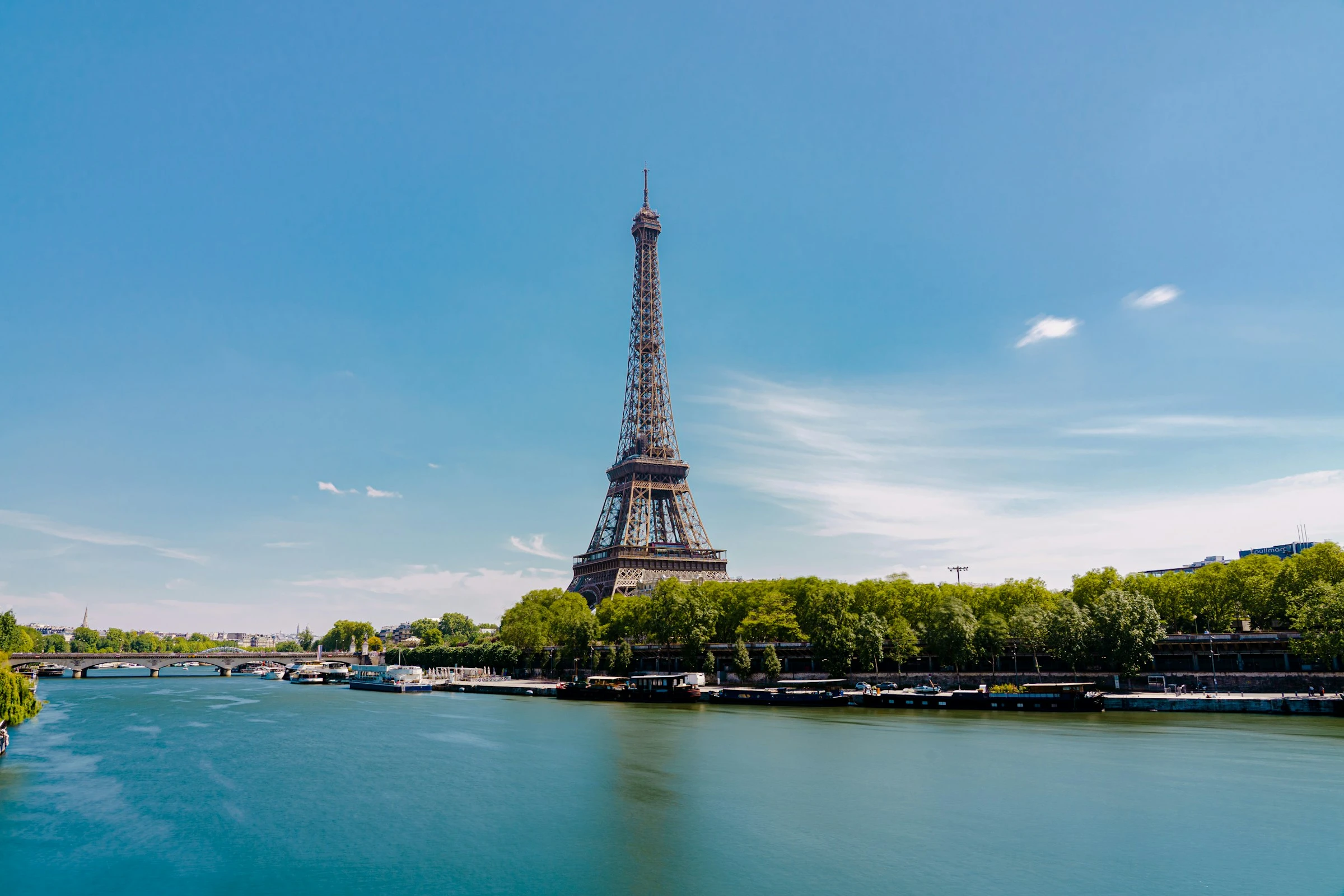
Licence: Unsplash License
View original and attribution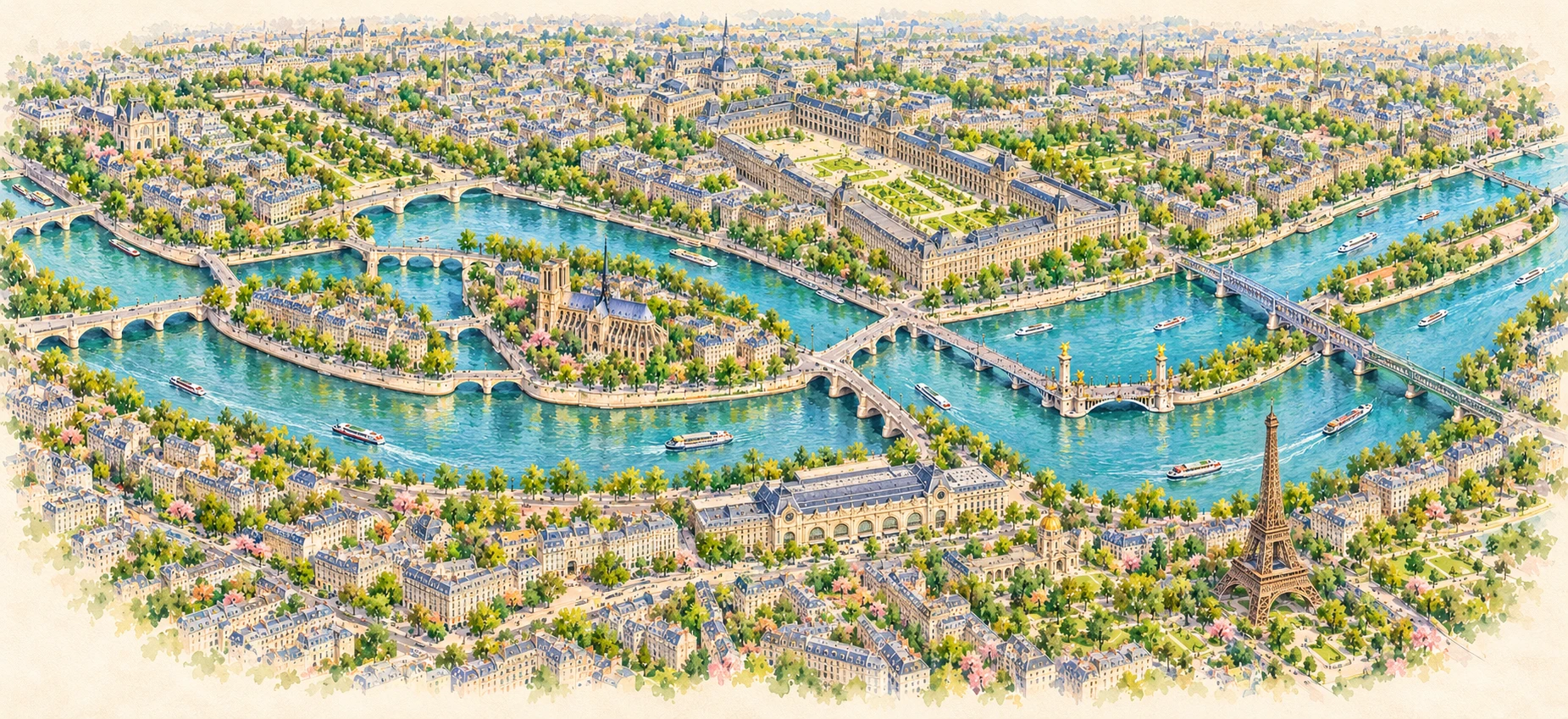
North is up. Riverbanks, islands and bridges follow OpenStreetMap geometry; the six markers are anchored to the mapped bridges. Watercolor styling is decorative. Numbers match the bridge directory.