
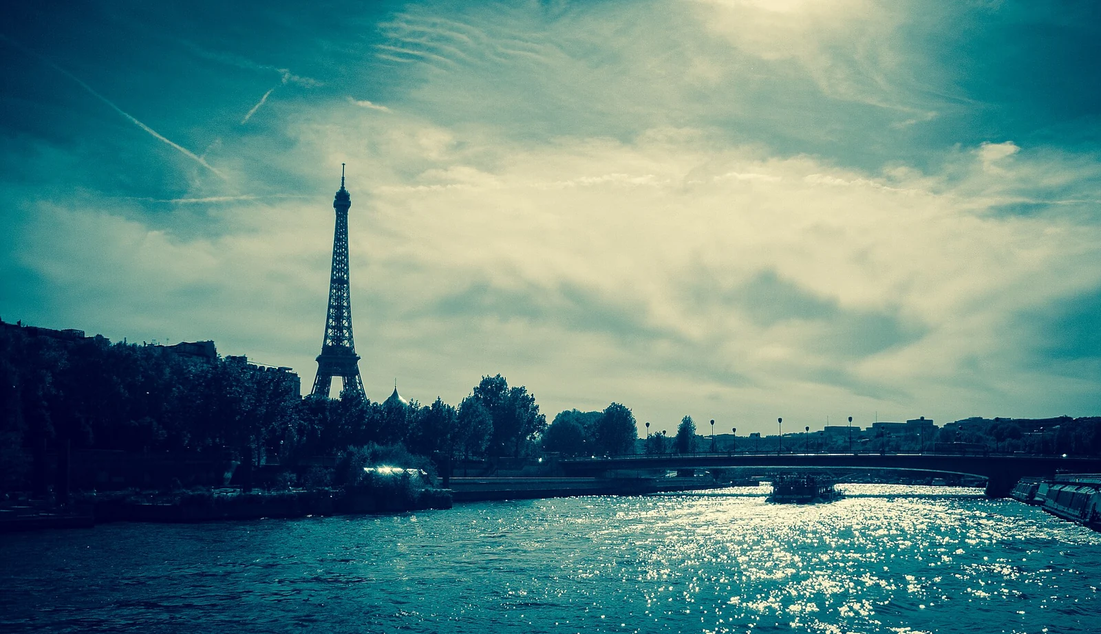
Udit Kapoor
Licence: CC BY-SA 4.0
Voir l’original et son attributionDes lieux réels, des crédits respectés. Les images ont été redimensionnées, converties en WebP et peuvent être recadrées pour la mise en page. Chaque photographie conserve la licence indiquée ci-dessous.
Licence: CC BY-SA 4.0
Voir l’original et son attribution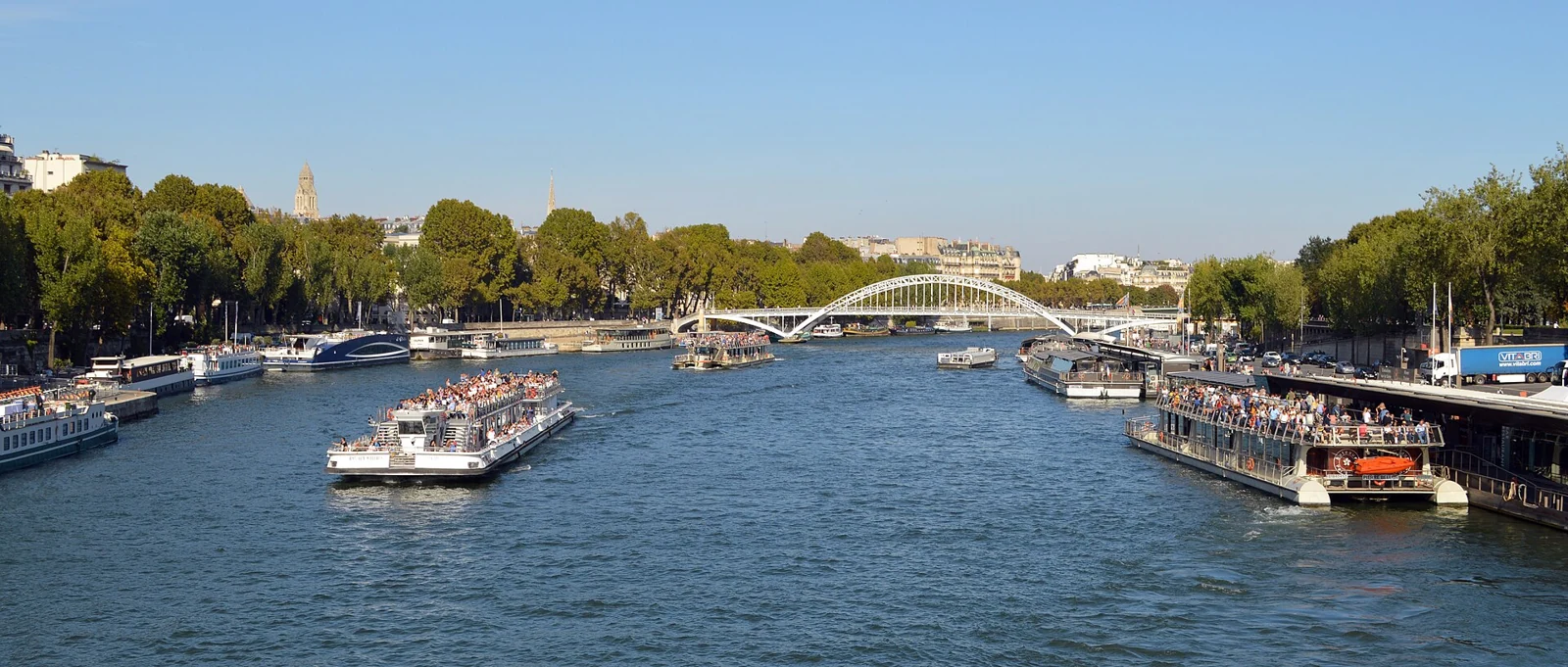
Licence: CC0
Voir l’original et son attribution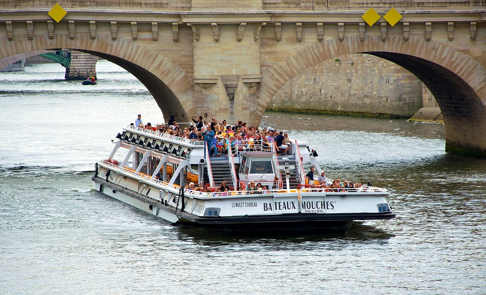
Licence: CC BY-SA 2.0
Voir l’original et son attribution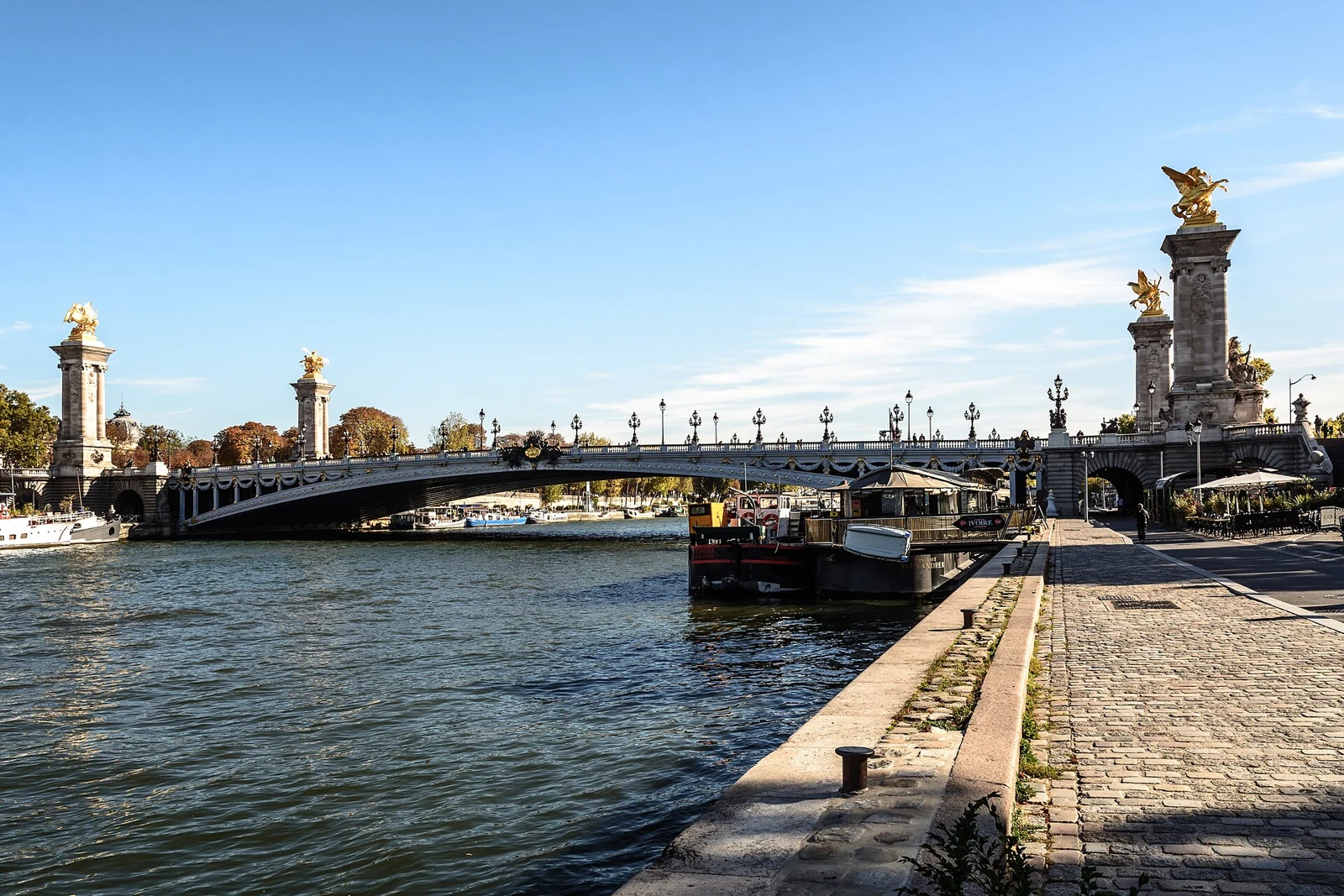
Licence: CC BY-SA 2.0
Voir l’original et son attribution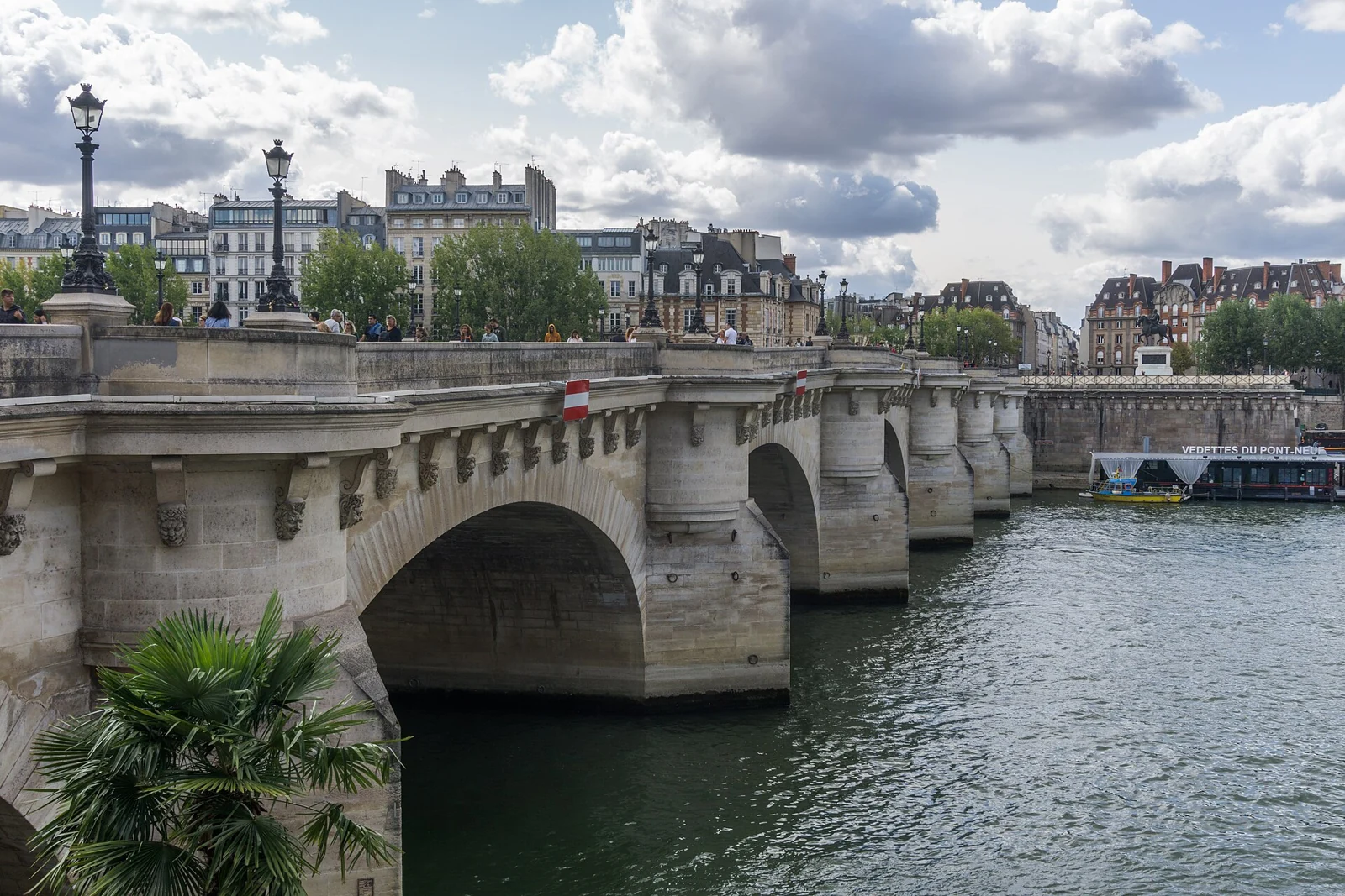
Licence: CC BY-SA 4.0
Voir l’original et son attribution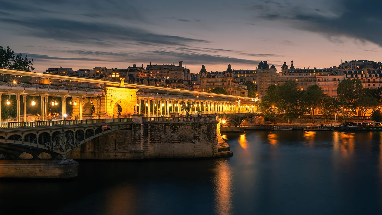
Licence: CC0
Voir l’original et son attribution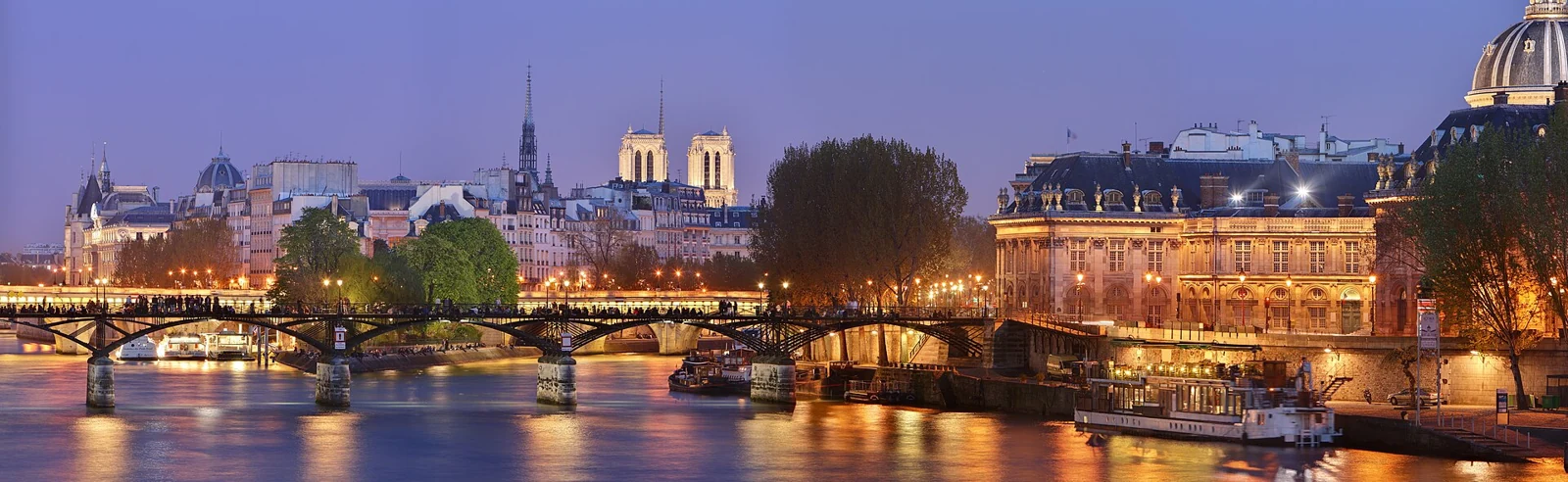
Licence: CC BY-SA 3.0
Voir l’original et son attribution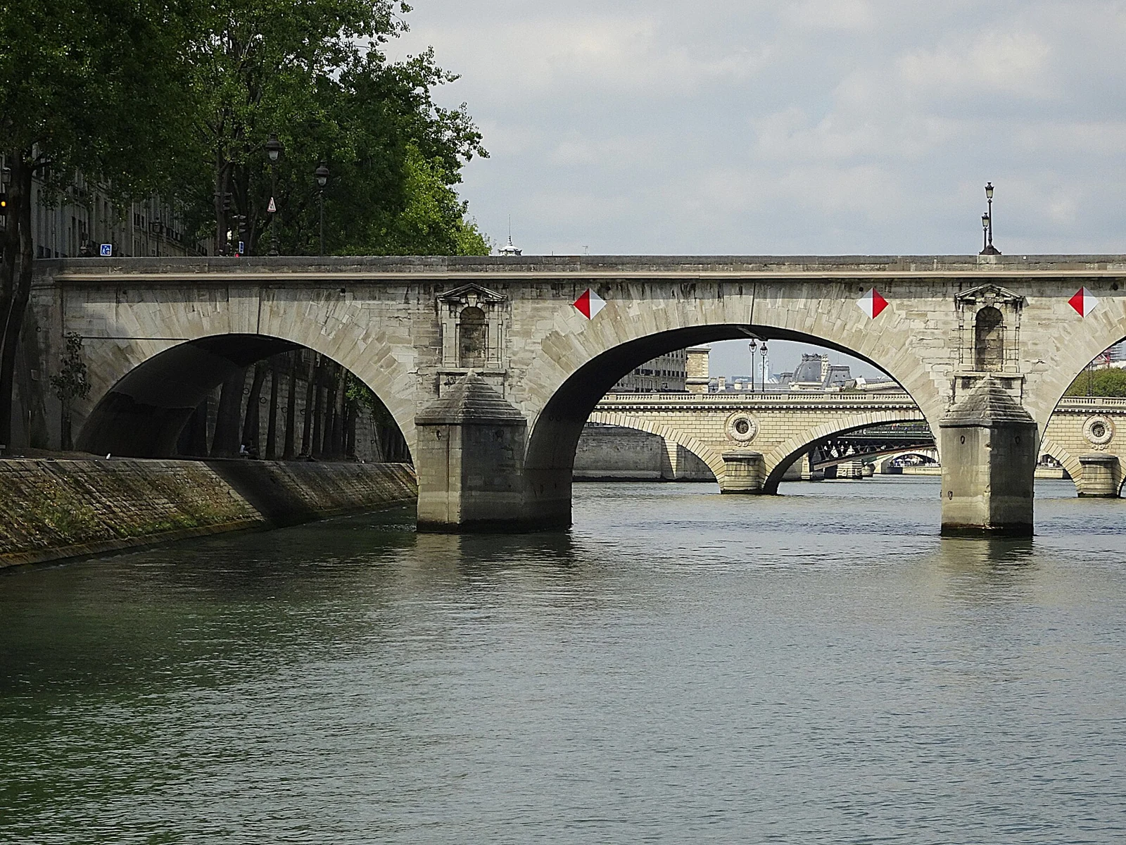
Licence: CC BY-SA 4.0
Voir l’original et son attribution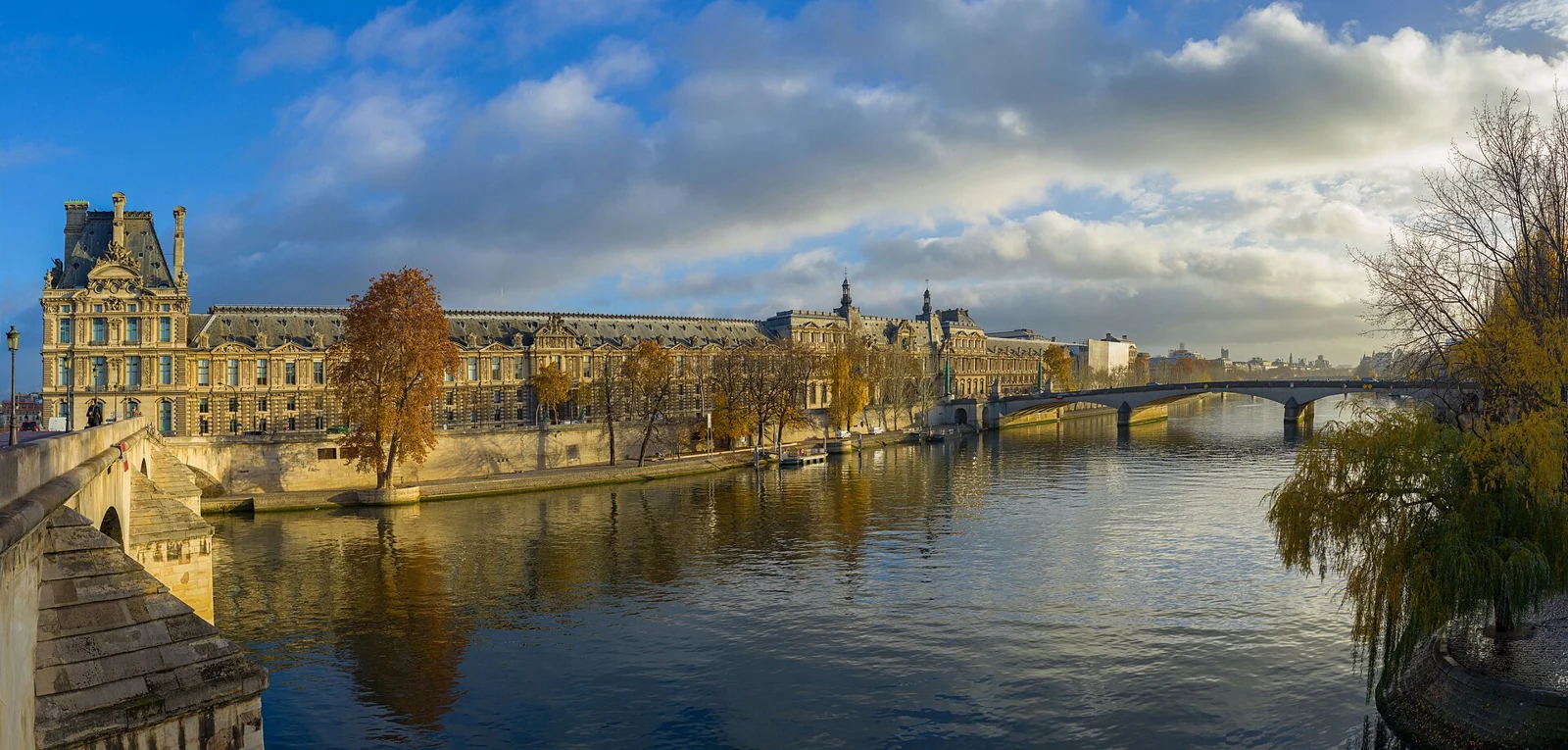
Licence: CC BY-SA 3.0
Voir l’original et son attribution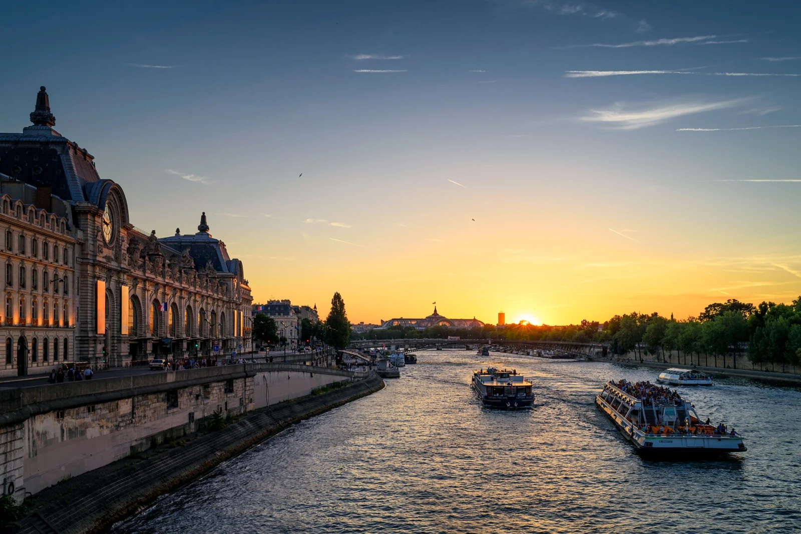
Licence: CC BY 3.0
Voir l’original et son attribution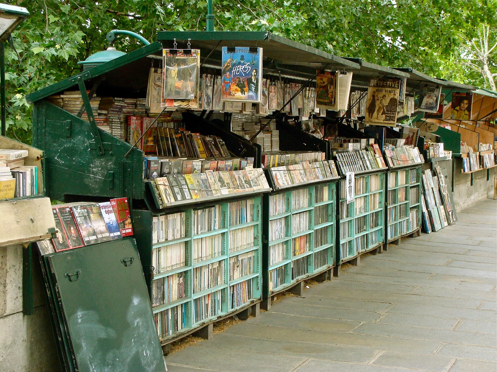
Licence: CC BY-SA 3.0
Voir l’original et son attribution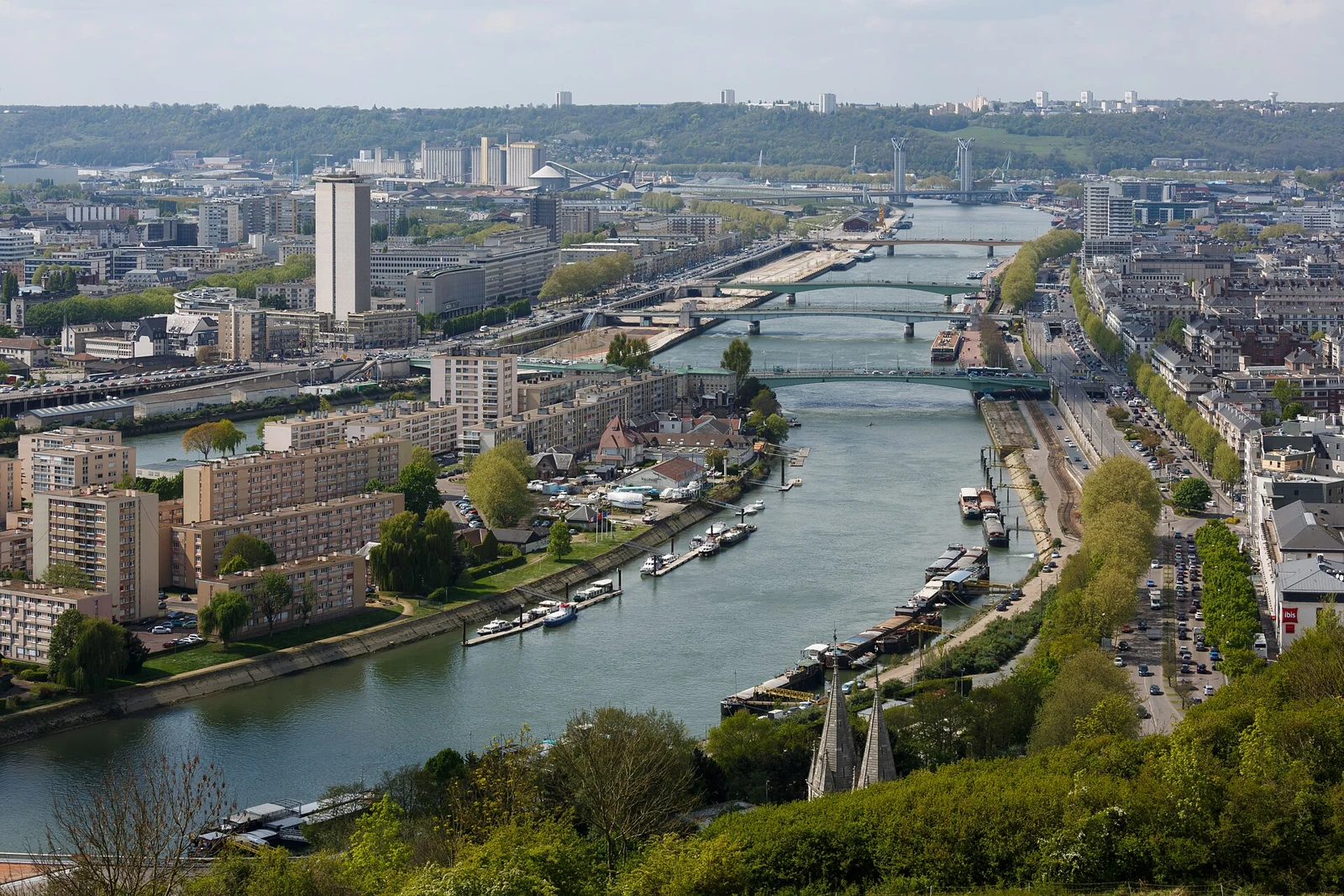
Licence: CC BY-SA 3.0
Voir l’original et son attribution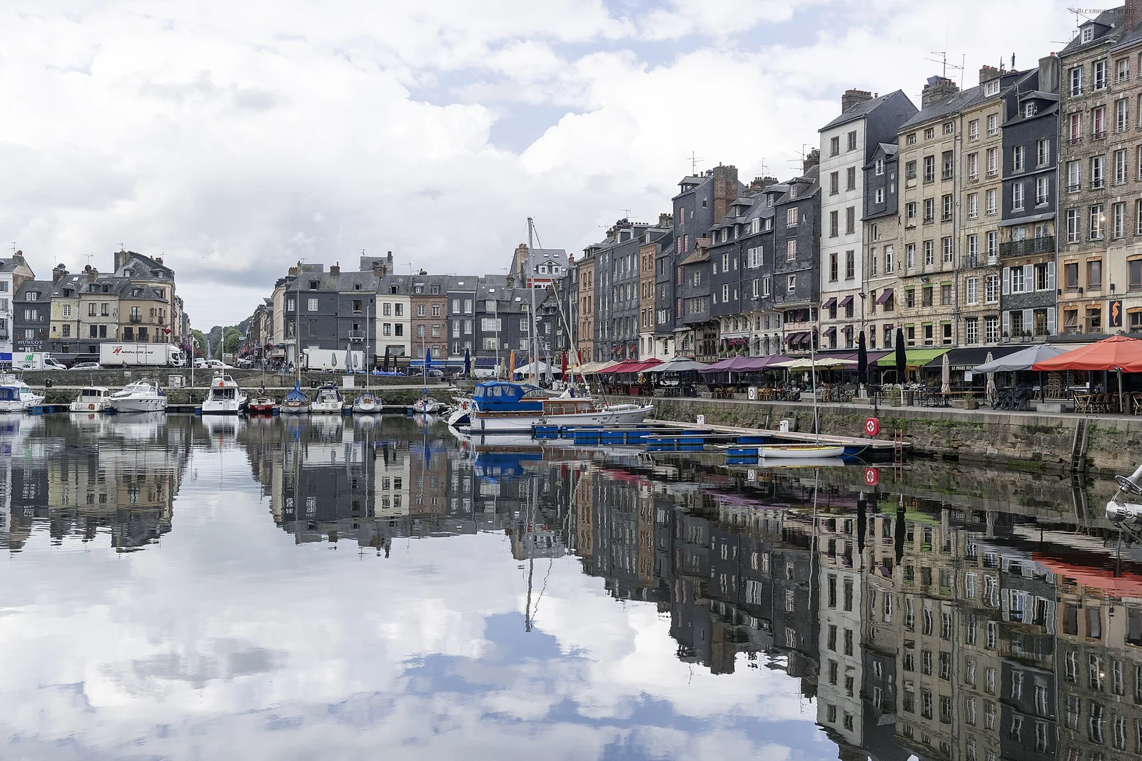
Licence: CC BY-SA 2.0
Voir l’original et son attribution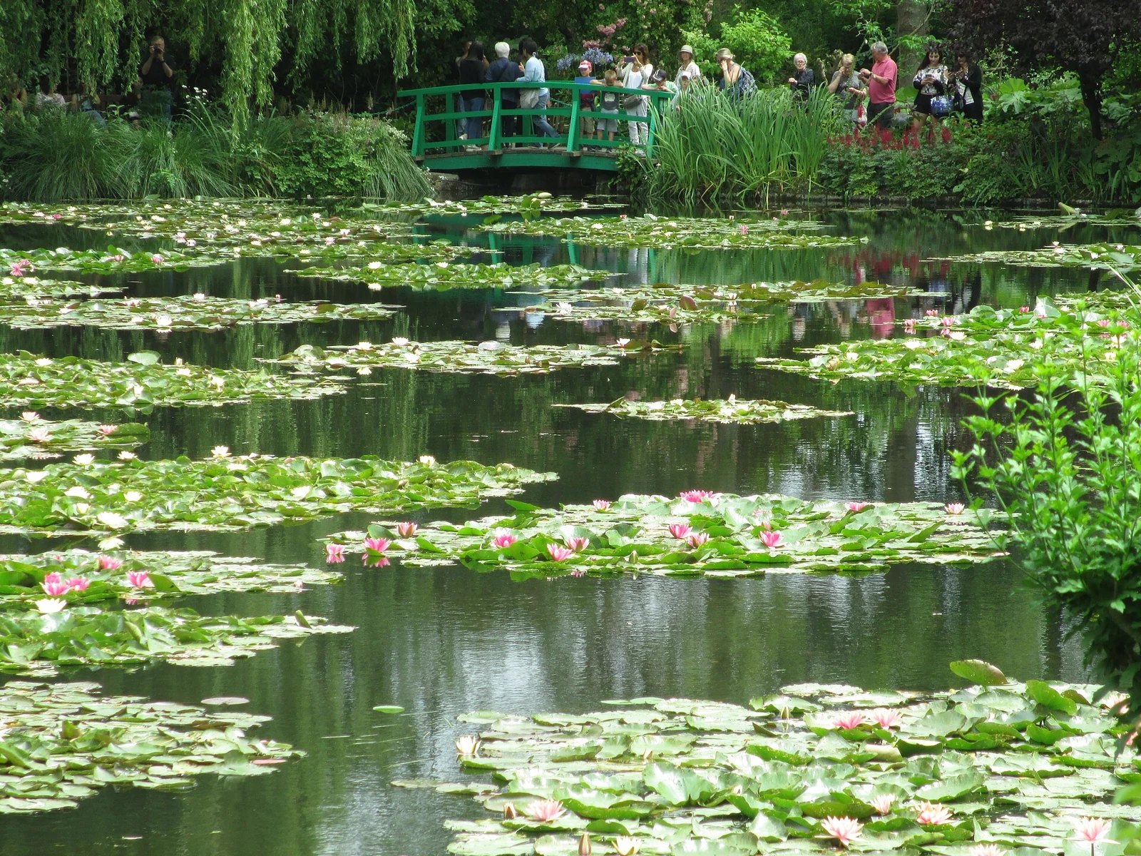
Licence: CC BY-SA 4.0
Voir l’original et son attribution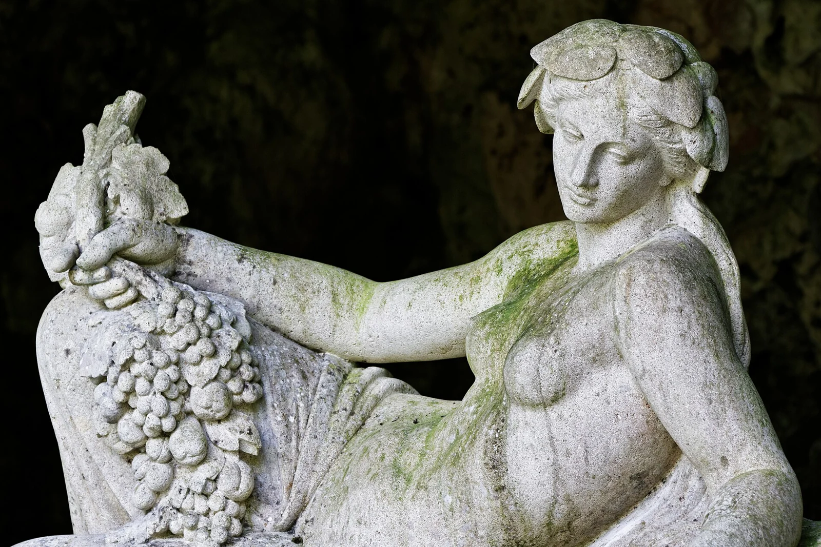
Licence: CC BY-SA 3.0
Voir l’original et son attribution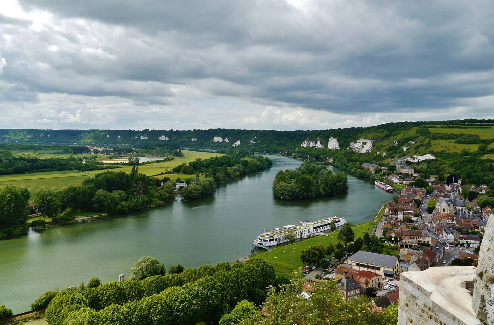
Licence: CC BY-SA 4.0
Voir l’original et son attribution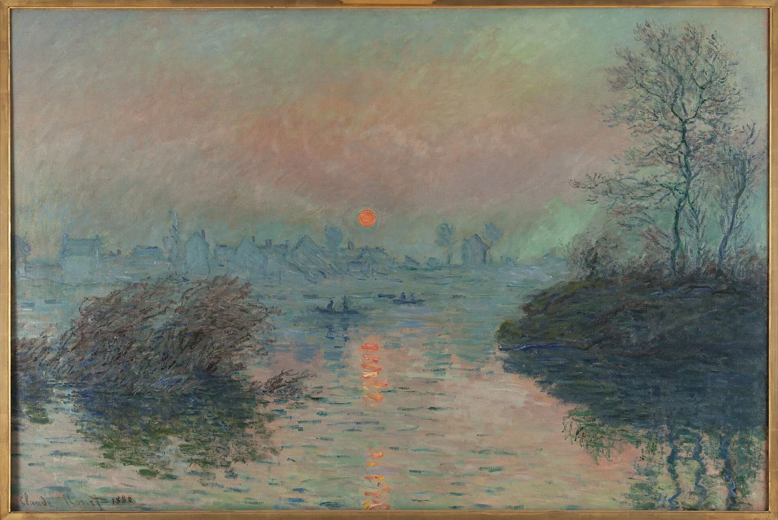
Licence: Public domain
Voir l’original et son attribution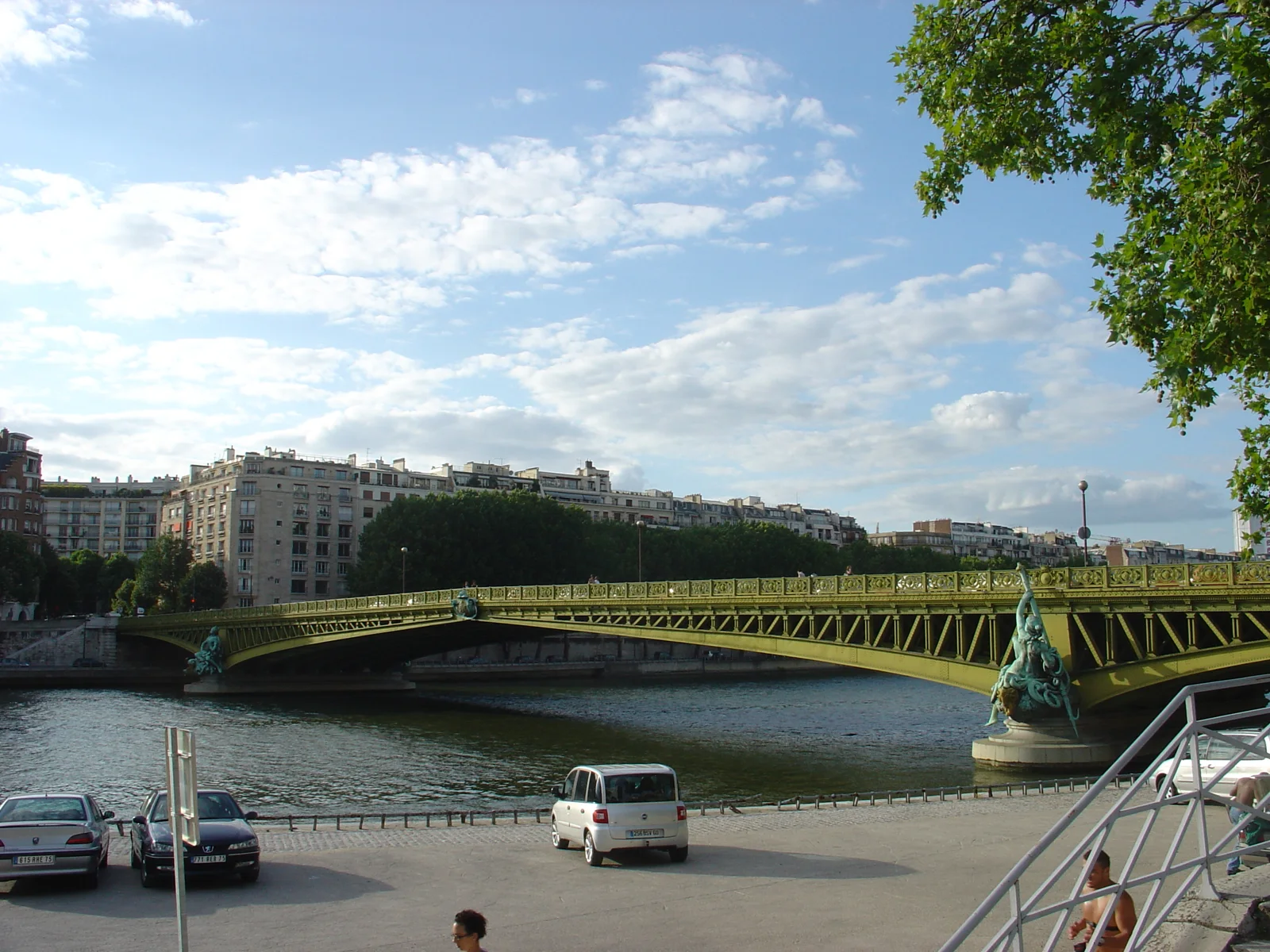
Licence: CC BY 2.0
Voir l’original et son attribution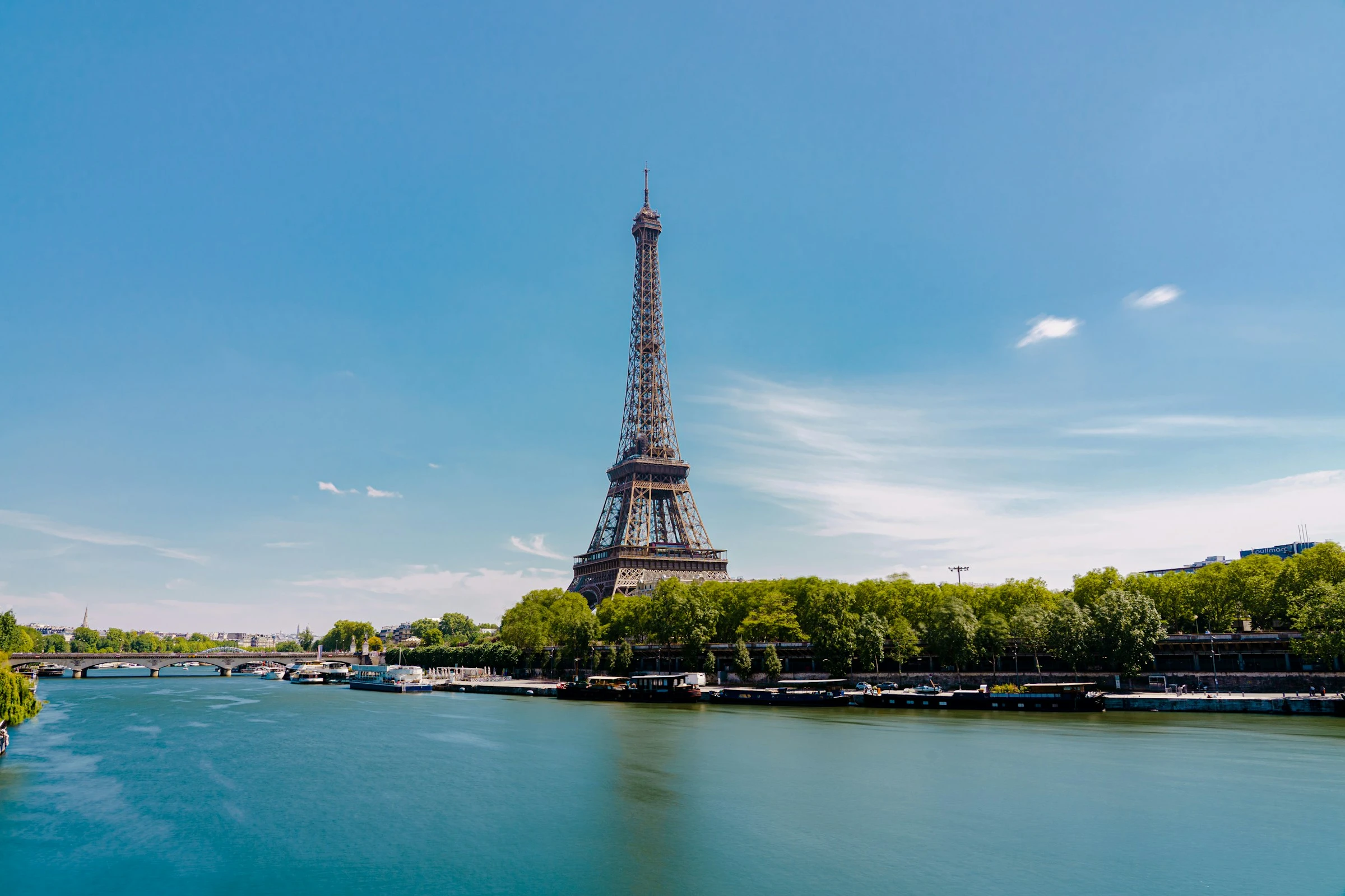
Licence: Unsplash License
Voir l’original et son attribution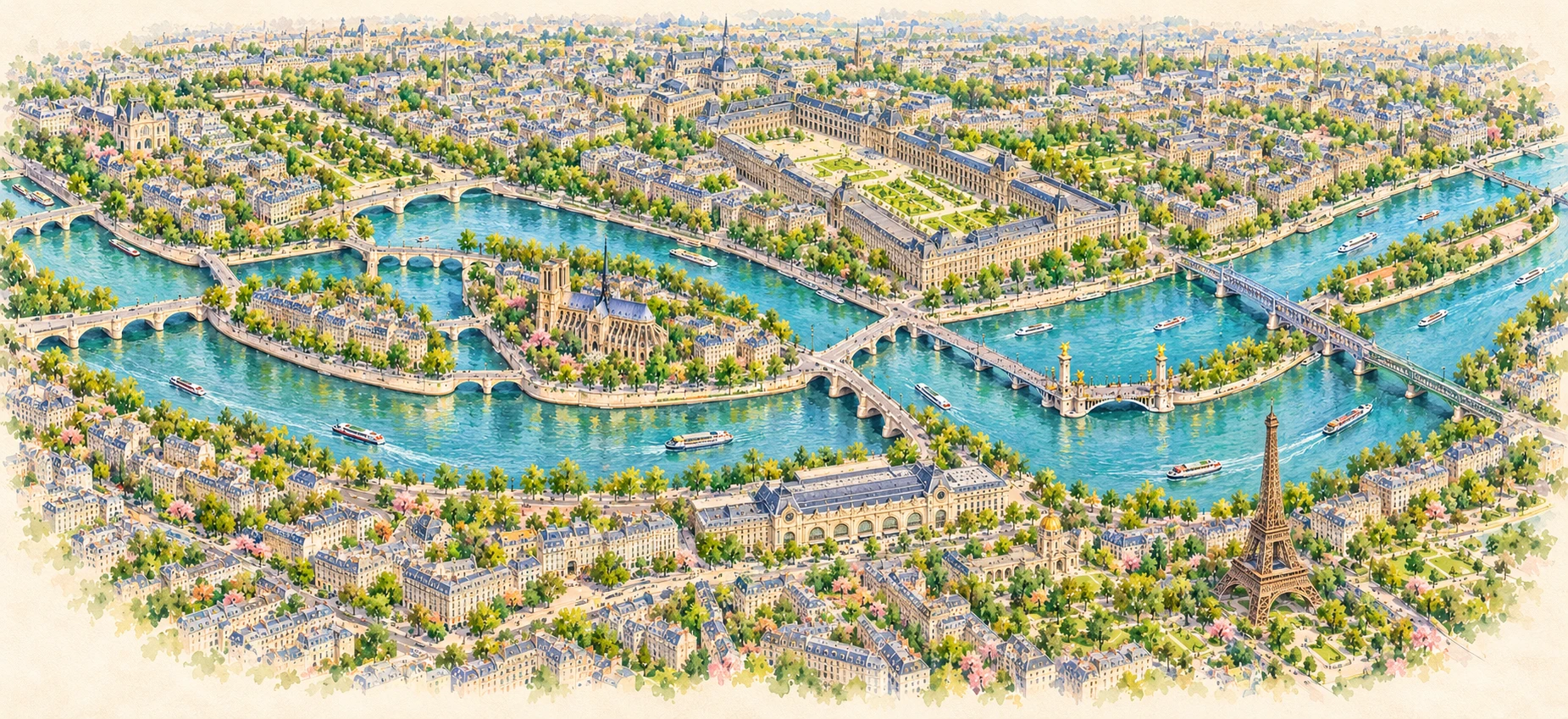
Le nord est en haut. Berges, îles et ponts suivent les géométries OpenStreetMap ; les six repères sont ancrés sur les ponts cartographiés. Le style aquarelle est décoratif. Les numéros correspondent au répertoire.